Auburn in Placer County, California — The American West (Pacific Coastal)
Lincoln Avenue Businesses
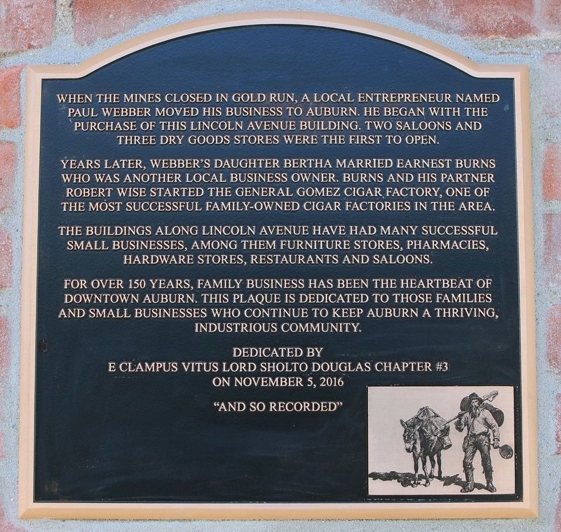
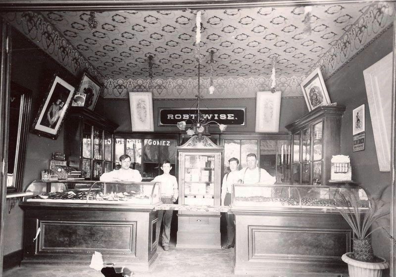
Years later, Webber’s daughter Bertha married Earnest Burns who was another local business owner. Burns and his partner Robert Wise started the General Gomez Cigar Factory, one of the most successful family-owned cigar factories in the area.
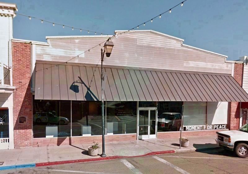
The buildings along Lincoln Avenue have had many successful small businesses, among them furniture stores, pharmacies, hardware stores, restaurants and saloons.
For over 150 years, family business has been the heartbeat of downtown Auburn. This plaque is dedicated to those families and small businesses who continue to keep Auburn a thriving, industrious community.
Erected 2016 by E Clampus Vitus.
Topics and series. This historical marker is listed in this topic list: Industry & Commerce. In addition, it is included in the E Clampus Vitus series list.
Location. 38° 54.041′ N, 121° 4.074′ W. Marker is in Auburn, California, in Placer County. Marker is at the intersection of Lincoln Way and Cherry Avenue on Lincoln Way. Touch for map. Marker is at or near this postal address: 808 Lincoln Way, Auburn CA 95603, United States of America. Touch for directions.
Other nearby markers. At least 8 other markers are within walking distance of this marker. Auburn Drug Company (within shouting distance of this marker); Ford & Co. Building (about 400 feet away, measured in a direct line); First Transcontinental Railroad (about 700 feet away); East Auburn Bell Tower (about 700 feet away); Marguerite Mine “Quartz Rock” (about 800 feet away); The Chinese Coolie (approx. 0.2 miles away); Southern Pacific Caboose (approx. 0.2 miles away); Auburn Depot (approx. 0.2 miles away). Touch for a list and map of all markers in Auburn.
Credits. This page was last revised on October 10, 2018. It was originally submitted on October 10, 2018, by Craig Baker of Sylmar, California. This page has been viewed 180 times since then and 27 times this year. Photos: 1, 2, 3. submitted on October 10, 2018, by Craig Baker of Sylmar, California. • Andrew Ruppenstein was the editor who published this page.


