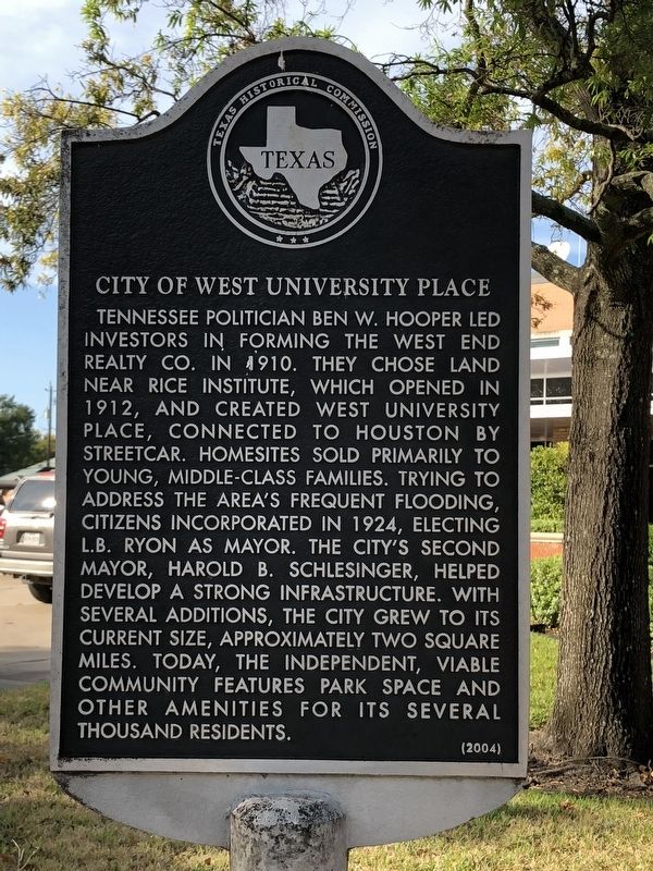
Southwest Houston in West University Place in Harris County, Texas — The American South (West South Central)
City of West University Place
Erected 2004 by Texas Historical Commission. (Marker Number 15654.)
Topics. This historical marker is listed in this topic list: Settlements & Settlers. A significant historical year for this entry is 1924.
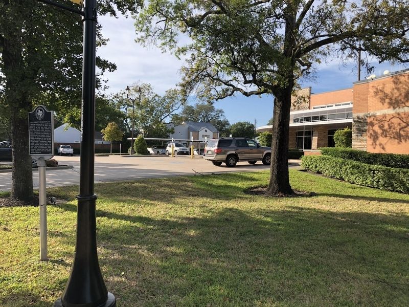
Location. 29° 42.881′ N, 95° 26.273′ W. Marker is in West University Place, Texas, in Harris County. It is in Southwest Houston. Marker is at the intersection of University Boulevard and Auden Street, on the right when traveling west on University Boulevard. Touch for map. Marker is at or near this postal address: 3800 University Boulevard, Houston TX 77005, United States of America. Touch for directions.
Other nearby markers. At least 8 other markers are within 3 miles of this marker, measured as the crow flies. Teas Nursery Company (approx. one mile away); Texan Capture of Mexican Dispatches (approx. 1.7 miles away); Bellaire Presbyterian Church (approx. 1.9 miles away); Bellaire Streetcar Line (approx. 1.9 miles away); Bellaire (approx. 2 miles away); Beth Yeshurun Synagogue (approx. 2 miles away); Gov. John B. Connally, Jr. House (approx. 2.1 miles away); Forum of Civics of River Oaks Garden Club (approx. 2.2 miles away).
Also see . . . West University Place, TX - The Handbook of Texas Online. Texas State Historical Association (TSHA) (Submitted on November 5, 2018, by Brian Anderson of Humble, Texas.)
Credits. This page was last revised on February 1, 2023. It was originally submitted on November 5, 2018, by Brian Anderson of Humble, Texas. This page has been viewed 338 times since then and 40 times this year. Photos: 1, 2. submitted on November 5, 2018, by Brian Anderson of Humble, Texas. • Andrew Ruppenstein was the editor who published this page.

