Pasadena in Harris County, Texas — The American South (West South Central)
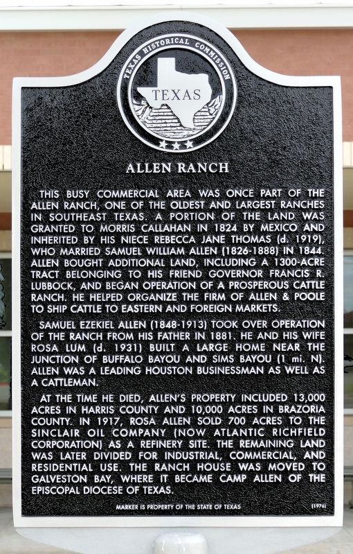
Allen Ranch
Samuel Ezekiel Allen (1848-1913) took over operation of the ranch from his father in 1881. He and his wife Rosa Lum (d. 1931) built a large home near the junction of Buffalo Bayou and Sims Bayou (1 mi. N). Allen was a leading Houston businessman as well as a cattleman.
At the time he died, Allen's property included 13,000 acres in Harris County and 10,000 acres in Brazoria County. In 1917, Rosa Allen sold 700 acres to the Sinclair Oil Company (now Atlantic Richfield Corporation) as a refinery site. The remaining land was later divided for industrial, commercial, and residential use. The ranch house was moved to Galveston Bay, where it became Camp Allen of the Episcopal Diocese of Texas.
Marker is the property of the State of Texas (1976)
Erected 1976 by Texas Historical Commission. (Marker Number 10591.)
Topics. This historical marker is listed in this topic list: Settlements & Settlers. A significant historical year for this entry is 1824.
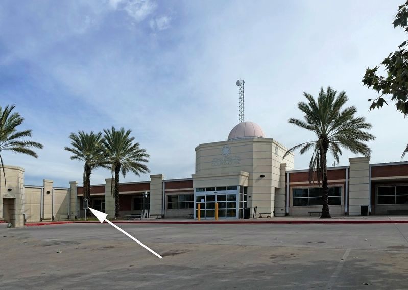
Location. 29° 42.719′ N, 95° 13.168′ W. Marker is in Pasadena, Texas, in Harris County. Marker is at the intersection of Richey Street and Shaw Avenue, on the right when traveling north on Richey Street. This marker has been replaced two times. Originally it was on the feeder to Highway 225 and you may still find it is located there in older databases. In its third and current life it is at the location given here. Touch for map. Marker is in this post office area: Pasadena TX 77506, United States of America. Touch for directions.
Other nearby markers. At least 8 other markers are within 4 miles of this marker, measured as the crow flies. Vince's Bridge (approx. half a mile away); Bob Harris Station (approx. half a mile away); Pasadena Independent School District (approx. half a mile away); City of Pasadena (approx. 0.6 miles away); Crown Hill Cemetery (approx. 0.6 miles away); The Capture of Santa Anna (approx. one mile away); Texan Army Crossing of Buffalo Bayou (approx. 1.1 miles away); Glendale Cemetery (approx. 3.4 miles away). Touch for a list and map of all markers in Pasadena.
Credits. This page was last revised on February 1, 2023. It was originally submitted on November 17, 2018, by Jim Evans of Houston, Texas. This page has been viewed 670 times since then and 76 times this year. Photos: 1, 2. submitted on November 17, 2018, by Jim Evans of Houston, Texas. • Andrew Ruppenstein was the editor who published this page.

