Sarandė in Sarandė District, Vlorė, Albania — Southeastern Europe (Balkan Peninsula)
Kalaja e Onhezmit
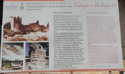
The Castle of Saranda
English:
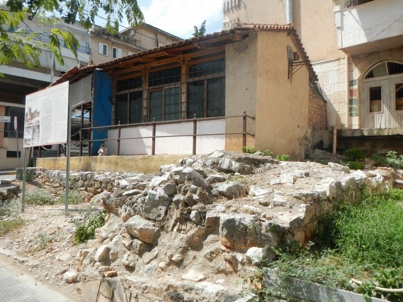
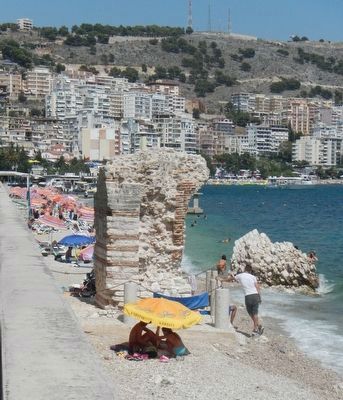
It's located in the center of the town. It has the shape of an irregular pentagon with the vertex on the northern side, which is the most well-preserved side, whereas the seaside serves as its basis. The castle walls have a thickness of 2-2.5 m and a height of 8.5 m. The length of the wall fence encloses an area of 5 ha. The Saranda's castle has only one entrance on the northern side. For a better fortification of the castle there were built 20 towers of circular base, quadratic or pentagonal. In the castle of Saranda there were found coins started from the period of Emperor Kostandin II (334-340), to Justin II with Sophie (556=578)
Archeological data in the castle of Saranda prove that this castle was built in late antiquity period, and it was also built in three stages, the first one was at IV-I BC, the second one was at I-IV century and the third IV-VI century. In the castle, there were found some ruins belonging to houses, 6 water deposits, one big basilica of 150m2, three spaces which were covered with multicolored mosaics.
Declared a cultural monument in 1977.
Erected by Ministria e Kulturės, DRKK Vlorė.
Topics. This historical marker is listed in this topic list: Forts and Castles.
Location. 39° 52.444′ N, 20° 0.252′ E. Marker is in Sarandė, Vlorė, in Sarandė District. Marker is at the intersection of Rruga Vangjel Pandi and Rruga Abedin Dino, on the left when traveling south on Rruga Vangjel Pandi. Touch for map. Marker is in this post office area: Sarandė, Vlorė 9701, Albania. Touch for directions.
Other nearby markers. At least 8 other markers are within 14 kilometers of this marker, measured as the crow flies. Nicolae Iorga (about 180 meters away, measured in a direct line); Sinagogue (about 240 meters away); Martyrs (approx. 6.9 kilometers away); The Lion Gate (approx. 14.1 kilometers away); The Great Basilica (approx. 14.3 kilometers away); The Roman Forum (approx. 14.3 kilometers away); The channel-side city wall (approx. 14.4 kilometers away); The Theatre (approx. 14.4 kilometers away). Touch for a list and map of all markers in Sarandė.
Credits. This page was last revised on January 25, 2022. It was originally submitted on November 26, 2018, by Barry Swackhamer of Brentwood, California. This page has been viewed 141 times since then and 12 times this year. Photos: 1, 2, 3. submitted on November 26, 2018, by Barry Swackhamer of Brentwood, California.


