Santa Barbara in Santa Barbara County, California — The American West (Pacific Coastal)
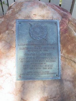
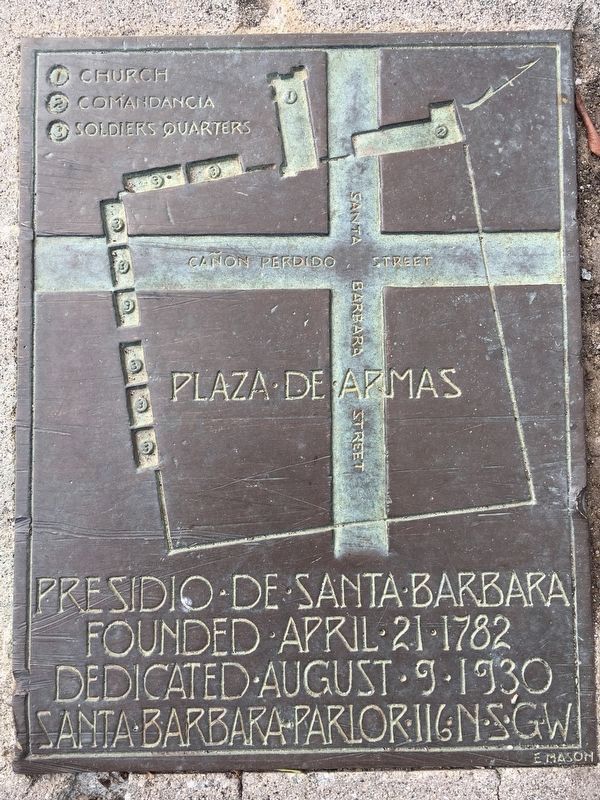
Santa Barbara Presidio
Founded 1782
Erected 1928 by Santa Barbara Chapter Daughters of the American Revolution.
Topics and series. This historical marker is listed in these topic lists: Notable Places • Settlements & Settlers. In addition, it is included in the Daughters of the American Revolution series list. A significant historical year for this entry is 1782.
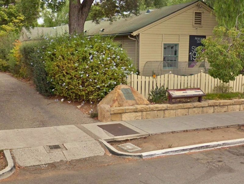
Location. 34° 25.335′ N, 119° 41.853′ W. Marker is in Santa Barbara, California, in Santa Barbara County. Marker is on Santa Barbara Street north of East De La Guerra Street, on the right when traveling north. Touch for map. Marker is at or near this postal address: 814 Santa Barbara Street, Santa Barbara CA 93101, United States of America. Touch for directions.
Other nearby markers. At least 8 other markers are within walking distance of this marker. The Rochin Adobe (a few steps from this marker); Rochin-Birabent Adobe (a few steps from this marker); Site of Royal Spanish Presidio (about 300 feet away, measured in a direct line); Casa Covarrubas (about 500 feet away); The Oreña Adobe (about 600 feet away); Jose Lobero's Opera House (about 700 feet away); De La Guerra Plaza (approx. 0.2 miles away); Hill-Carrillo Adobe (approx. 0.2 miles away). Touch for a list and map of all markers in Santa Barbara.
Credits. This page was last revised on April 3, 2020. It was originally submitted on January 27, 2012, by Michael Kindig of Elk Grove, California. This page has been viewed 667 times since then and 28 times this year. Last updated on January 4, 2019, by Craig Baker of Sylmar, California. Photos: 1. submitted on January 27, 2012, by Michael Kindig of Elk Grove, California. 2. submitted on December 22, 2018, by Craig Baker of Sylmar, California. 3. submitted on April 3, 2020, by Craig Baker of Sylmar, California. • Andrew Ruppenstein was the editor who published this page.


