Near Benchley in Robertson County, Texas — The American South (West South Central)
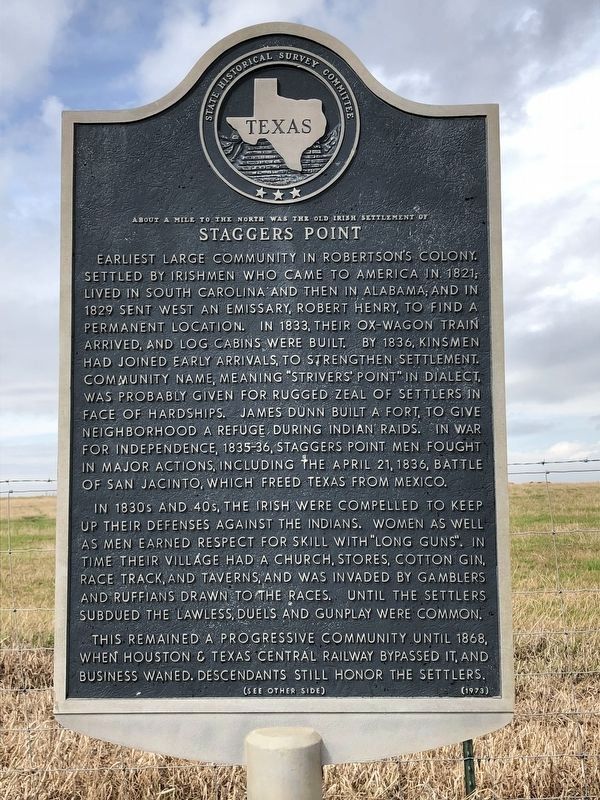
Staggers Point
About a Mile to the North was the Old Irish Settlement of
Earliest large community in Robertson's Colony. Settled by Irishmen who came to America in 1821; lived in South Carolina and then in Alabama; and in 1829 sent west an emissary, Robert Henry, to find a permanent location. In 1833, their ox-wagon train arrived, and log cabins were built. By 1836, kinsmen had joined early arrivals to strengthen settlement. Community name, meaning "Strivers' Point" in dialect, was probably given for rugged zeal of settlers in face of hardships. James Dunn built a fort, to give neighborhood a refuge during Indian raids. In War for Independence, 1835-36, Staggers Point men fought in major actions, including the April 21, 1836, Battle of San Jacinto, which freed Texas from Mexico.
In 1830s and 40s, the Irish were compelled to keep up their defenses against the Indians. Women as well as men earned respect for skill with "long guns." In time their village had a church, stores, cotton gin, race track, and taverns, and was invaded by gamblers and ruffians drawn to the races. Until the settlers subdued the lawless, duels and gunplay were common.
This remained a progressive community until 1868, when Houston & Texas Central Railway bypassed it, and business waned. Descendants still honor the settlers.
Erected 1973 by State Historical Survey Committee. (Marker Number 10948.)
Topics. This historical marker is listed in this topic list: Settlements & Settlers. A significant historical year for this entry is 1833.
Location. 30° 45.344′ N, 96° 27.065′ W. Marker is near Benchley, Texas, in Robertson County. Marker is on State Highway OSR, 0.7 miles east of State Highway 6, on the right when traveling west. Touch for map. Marker is in this post office area: Bryan TX 77807, United States of America. Touch for directions.
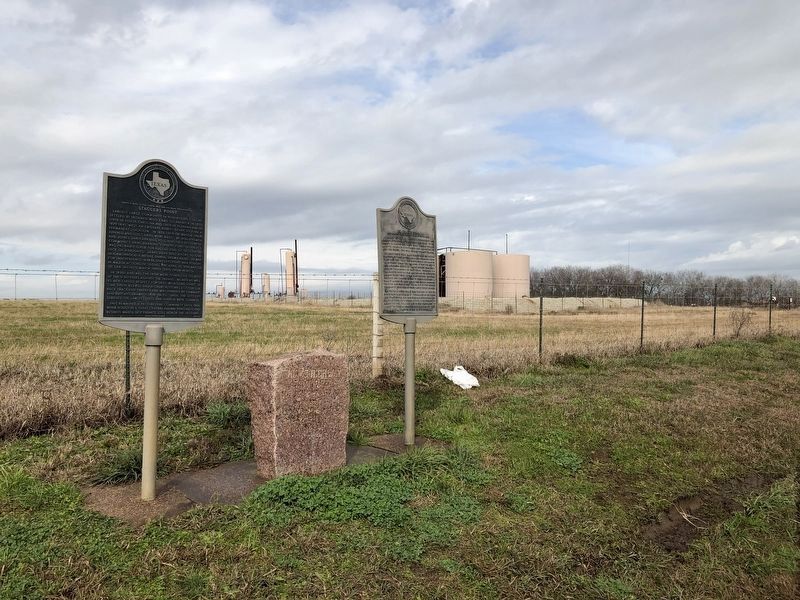
Other nearby markers. At least 8 other markers are within 7 miles of this marker, measured as the crow flies. Kings Highway Camino Real — Old San Antonio Road (here, next to this marker); El Camino Real (here, next to this marker); a different marker also named Kings Highway Camino Real — Old San Antonio Road (approx. 4.3 miles away); a different marker also named Kings Highway Camino Real — Old San Antonio Road (approx. 5 miles away); Mount Calvary Cemetery (approx. 7 miles away); Bryan City Cemetery (approx. 7 miles away); Isom Palmer (approx. 7 miles away); Charles Eric Jenkins (approx. 7 miles away). Touch for a list and map of all markers in Benchley.
Also see . . . Benchley, TX - The Handbook of Texas Online. Texas State Historical Association (TSHA) (Submitted on January 29, 2019, by Brian Anderson of Humble, Texas.)

Photographed By Brian Anderson, January 26, 2019
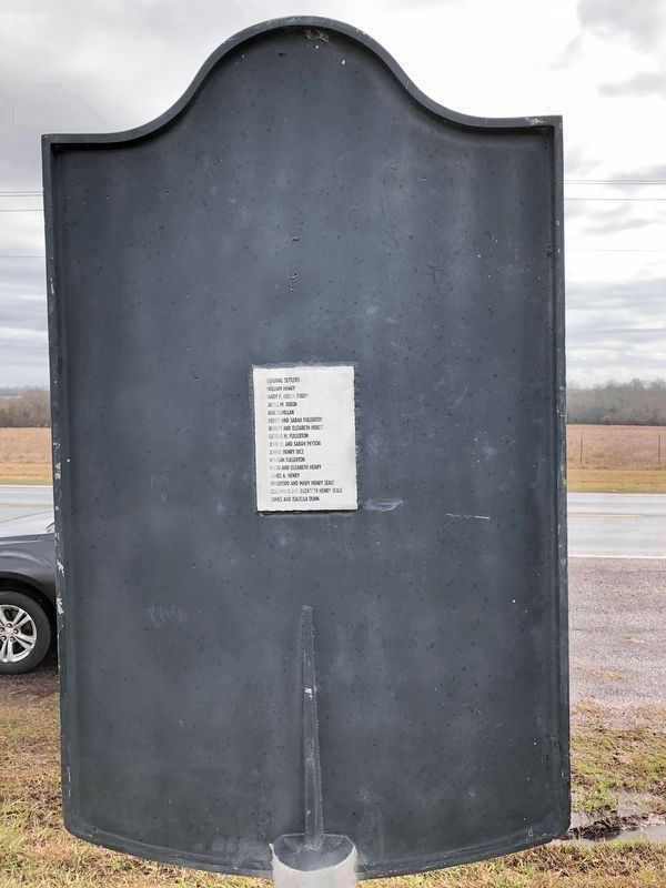
2. Staggers Point Marker Rear
Original Settlers:
William Henry
Mary F. Henry Dixon
James M. Dixon
Ann McMillan
Henry and Sarah Fullerton
Robert and Elizabeth Henry
George H. Fullerton
John R. and Sarah Peyton
Jimmie Henry Rice
William Fullerton
Hugh and Elizabeth Henry
James A. Henry
Bradford and Mary Henry Seale
Columbus and Elizabeth Henry Seale
James and Isabella Dunn
Credits. This page was last revised on November 28, 2020. It was originally submitted on January 29, 2019, by Brian Anderson of Humble, Texas. This page has been viewed 498 times since then and 73 times this year. Photos: 1, 2, 3. submitted on January 29, 2019, by Brian Anderson of Humble, Texas.

