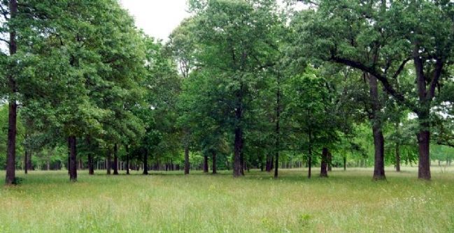
Near Gaffney in Cherokee County, South Carolina — The American South (South Atlantic)
Double Envelopment
Inscription.
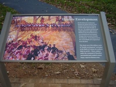
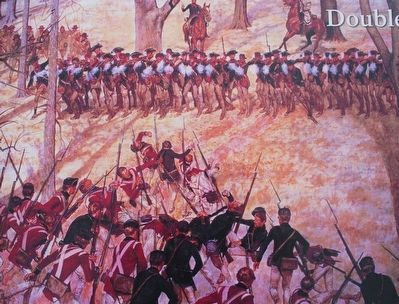
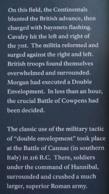
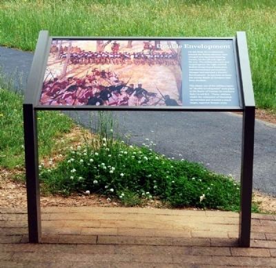
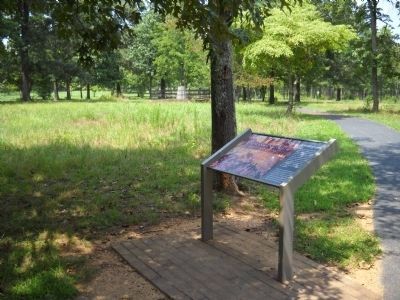
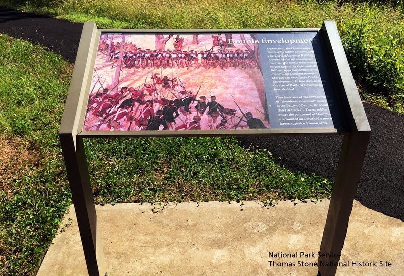
On this field, the Continentals blunted the British advance, then charged with bayonets flashing. Cavalry hit the left and right of the 71st. The militia reformed and surged against the right and left. British troops found themselves overwhelmed and surrounded. Morgan had executed a Double Envelopment. In less than an hour, the crucial Battle of Cowpens had been decided.
The classic use of the military tactic of "double envelopment" took place at the Battle of Cannae (in southern Italy) in 216 B.C. There, soldiers under the command of Hannibal, surrounded and crushed a much larger, superior Roman army.
Erected by Cowpens National Battlefield - National Park Service - U.S. Department of the Interior.
Topics. This historical marker is listed in this topic list: War, US Revolutionary.
Location. 35° 8.03′ N, 81° 48.825′ W. Marker is near Gaffney, South Carolina, in Cherokee County. Marker can be reached from Battleground Tour Road (Route 11), on the right when traveling east. This marker is in Cowpens national Battlefield. Touch for map. Marker is at or near this postal address: 4001 Chesnee Highway, Gaffney SC 29341, United States of America. Touch for directions.
Other nearby markers. At least 10 other markers are within walking distance of this marker. A Race for the Grasshopper (within shouting distance of this marker); Washington Light Infantry Monument (within shouting distance of this marker); a different marker also named Washington Light Infantry Monument (within shouting distance of this marker); Let 'em Get Within Killin' Distance (within shouting distance of this marker); Colonel Howard's Misunderstood Order (within shouting distance of this marker); The Continental Army at Cowpens (about 300 feet away, measured in a direct line); Sharpshooters at the Skirmish Line (about 500 feet away); Skirmishers Retreat, British Advance (about 600 feet away); The Cavalry (Dragoons) at Cowpens (about 600 feet away); Form the Line of Battle (about 700 feet away). Touch for a list and map of all markers in Gaffney.
Also see . . .
1. Battle of Cowpens. The Battle of Cowpens, January 17, 1781, took place in the latter part of the Southern Campaign of the American Revolution and of the Revolution itself. (Submitted on October 27, 2008, by Craig Swain of Leesburg, Virginia.)
2. Pincer Movement. The pincer movement or double envelopment is a military maneuver. (Submitted on January 14, 2012, by Brian Scott of Anderson, South Carolina.)
3. Battle of Cannae. The Battle of Cannae was a major battle of the Second Punic War, which took place on August 2, 216 BC near the town of Cannae in Apulia in southeast Italy. (Submitted on January 14, 2012, by Brian Scott of Anderson, South Carolina.)
Credits. This page was last revised on November 13, 2020. It was originally submitted on October 26, 2008, by Stanley and Terrie Howard of Greer, South Carolina. This page has been viewed 1,648 times since then and 28 times this year. Photos: 1. submitted on October 26, 2008, by Stanley and Terrie Howard of Greer, South Carolina. 2. submitted on September 12, 2015, by Brandon Fletcher of Chattanooga, Tennessee. 3, 4. submitted on January 14, 2012, by Brian Scott of Anderson, South Carolina. 5. submitted on August 5, 2010, by Bill Coughlin of Woodland Park, New Jersey. 6. submitted on August 30, 2019. 7. submitted on August 5, 2010, by Bill Coughlin of Woodland Park, New Jersey. 8. submitted on October 26, 2008, by Stanley and Terrie Howard of Greer, South Carolina. 9. submitted on January 14, 2012, by Brian Scott of Anderson, South Carolina. • Craig Swain was the editor who published this page.
