Coolville in Athens County, Ohio — The American Midwest (Great Lakes)
The Coolville Bridge
1930-2006
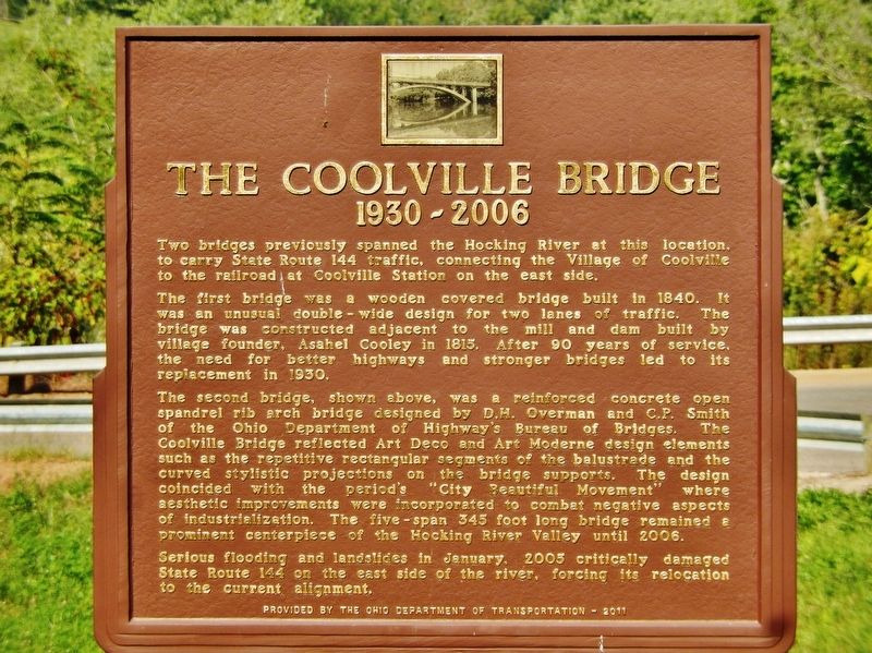
Two bridges previously spanned the Hocking River at this location, to carry State Route 144 traffic, connecting the Village of Coolville to the railroad at Coolville Station on the east side.
The first bridge was a wooden covered bridge built in 1840. It was an unusual double-wide design for two lanes of traffic. The bridge was constructed adjacent to the mill and dam built by village founder Asahel Cooley in 1815. After 90 years of service, the need for better highways and stronger bridges led to its replacement in 1930.
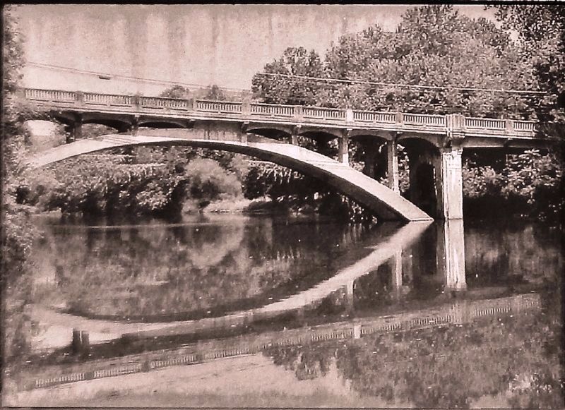
The second bridge, shown above, was a reinforced concrete open spandrel rib arch bridge designed by D.H. Overman and C.P. Smith of the Ohio Department of Highway’s Bureau of Bridges. The Coolville Bridge reflected Art Deco and Art Modern design elements such as the repetitive rectangular segments of the balustrade and the curved stylistic projections on the bridge supports. The design coincided with the period’s “City Beautiful Movement” where aesthetic improvements were incorporated to combat negative aspects of industrialization. The five-span 345 foot long bridge remained a prominent centerpiece of the Hocking River Valley until 2006.
Serious flooding and landslides in January, 2005 critically damaged State Route 144 on the east side of the river, forcing its relocation to the current alignment.
Erected 2011 by Ohio Department of Transportation.
Topics and series. This historical marker is listed in these topic lists: Architecture • Bridges & Viaducts. In addition, it is included in the Art Deco series list. A significant historical year for this entry is 1930.
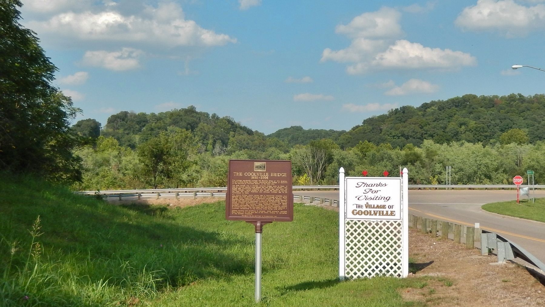
Location. 39° 13.459′ N, 81° 47.513′ W. Marker is in Coolville, Ohio, in Athens County. Marker is at the intersection of Main Street (County Road 56) and 1st Street, on the right when traveling west on Main Street. Marker is located near the northeast corner of the intersection, which is just west of 4 Mile Creek Road (Ohio State Route 144). Touch for map. Marker is in this post office area: Coolville OH 45723, United States of America. Touch for directions.
Other nearby markers. At least 8 other markers are within 10 miles of this marker, measured as the crow flies. Tupper Plains (approx. 5.4 miles away); Washington Bottom (approx. 6.3 miles away in West Virginia); Reedsville (approx. 7 miles away); Belleville (approx. 7.6 miles away in West Virginia); Birthplace of Ambrose Bierce (approx. 8.6 miles away); Long Bottom (approx. 9.6 miles away); Farmer's Castle (approx. 9.7 miles away); Belpre (approx. 9.8 miles away).
Also see . . . Ohio State Route 144. 1923 marked the year in which State Route 144 was established. SR 144 was rerouted around Coolville in 2006 as a result of landslides that occurred on the banks of the Hocking and Ohio Rivers in 2005 and 2006. Because of the damaged bridge and nearby damaged roadway along the east side of the Hocking River, SR 144 was rerouted south of Coolville on County Road 59 to a new bridge over the river. (Submitted on February 26, 2019, by Cosmos Mariner of Cape Canaveral, Florida.)
Credits. This page was last revised on April 17, 2022. It was originally submitted on February 26, 2019, by Cosmos Mariner of Cape Canaveral, Florida. This page has been viewed 681 times since then and 102 times this year. Photos: 1, 2, 3. submitted on February 26, 2019, by Cosmos Mariner of Cape Canaveral, Florida. • Andrew Ruppenstein was the editor who published this page.


