Near Gaffney in Cherokee County, South Carolina — The American South (South Atlantic)
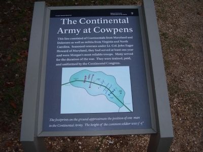
The Continental Army at Cowpens
Cowpens National Battlefield
— National Park Service, U.S. Department of the Interior —
Inscription.
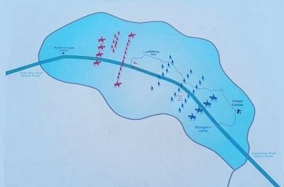
This line consisted of Continentals from Maryland and Delaware as well as militia from Virginia and North Carolina. Seasoned veterans under Lt. Col. John Eager Howard of Maryland, they had served at least one year and were Morgan's most reliable troops. Many served for the duration of the war. They were trained, paid, and uniformed by the Continental Congress.
Erected by National Park Service, U.S. Department of the Interior.
Topics. This historical marker is listed in this topic list: War, US Revolutionary.
Location. 35° 8.078′ N, 81° 48.824′ W. Marker is near Gaffney, South Carolina, in Cherokee County. Marker is on Chesnee Highway (Route 11). Marker is in Cowpens National Battlefield. Touch for map. Marker is in this post office area: Gaffney SC 29341, United States of America. Touch for directions.
Other nearby markers. At least 8 other markers are within walking distance of this marker. Washington Light Infantry Monument (within shouting distance of this marker); a different marker also named Washington Light Infantry Monument (within shouting distance of this marker); Double Envelopment (about 300 feet away, measured in a direct line); Let 'em Get Within Killin' Distance (about 400 feet away); The Cavalry (Dragoons) at Cowpens (about 400 feet away); A Race for the Grasshopper (about 400 feet away); Colonel Howard's Misunderstood Order (about 500 feet away); Sharpshooters at the Skirmish Line (about 600 feet away). Touch for a list and map of all markers in Gaffney.
Also see . . . Battle of Cowpens. National Park Service website entry (Submitted on October 27, 2008, by Craig Swain of Leesburg, Virginia.)
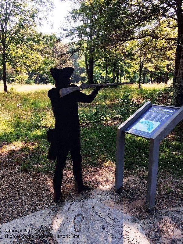
National Park Service, Thomas Stone National Historic Site, May 28, 2019
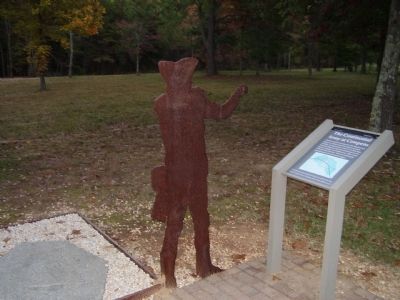
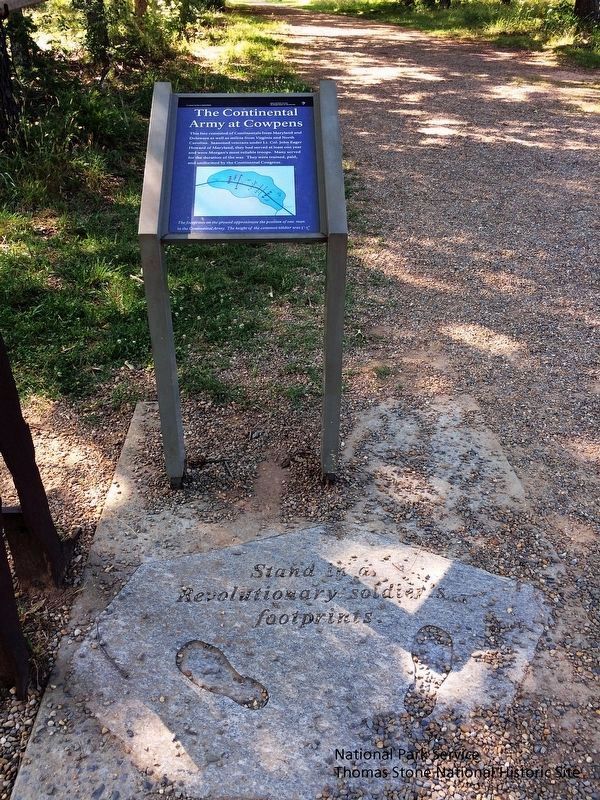
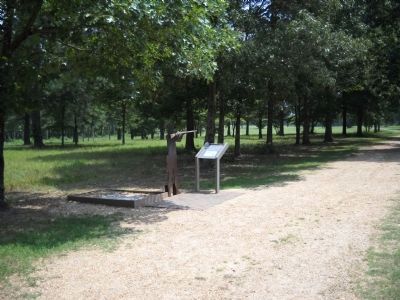
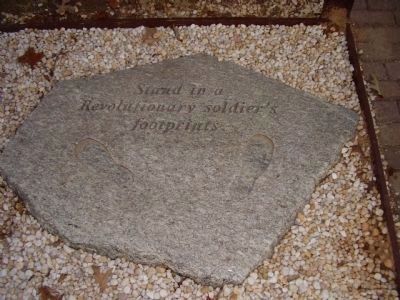
5. The Continental Army at Cowpens Marker, Cut-out, Stand in a Revolutionary Soldier's Footprints.
Viewing east towards marker.
Note #1: There is a new location for the "Stand in a Revolutionary Soldier's Footprints" marker.
Note #2: The musket in the hands of the cut-out soldier is present. The musket is missing in one of the images.
Credits. This page was last revised on September 8, 2022. It was originally submitted on October 27, 2008, by Stanley and Terrie Howard of Greer, South Carolina. This page has been viewed 1,247 times since then and 14 times this year. Photos: 1. submitted on October 27, 2008, by Stanley and Terrie Howard of Greer, South Carolina. 2. submitted on September 12, 2015, by Brandon Fletcher of Chattanooga, Tennessee. 3. submitted on October 27, 2008, by Stanley and Terrie Howard of Greer, South Carolina. 4, 5. submitted on August 29, 2019. 6. submitted on August 22, 2010, by Bill Coughlin of Woodland Park, New Jersey. 7. submitted on October 27, 2008, by Stanley and Terrie Howard of Greer, South Carolina. • Craig Swain was the editor who published this page.
