Near Toomsboro in Wilkinson County, Georgia — The American South (South Atlantic)
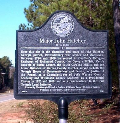
Major John Hatcher
(1757-1835)
Erected 2000 by Georgia Historical Society, Wilkinson County Historical Society, Wilkinson County News, and the Hatcher Family. (Marker Number 158-1.)
Topics and series. This historical marker is listed in these topic lists: Patriots & Patriotism • War, US Revolutionary. In addition, it is included in the Georgia Historical Society series list. A significant historical year for this entry is 1780.
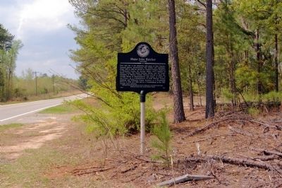
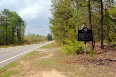
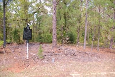
Location. 32° 52.806′ N, 83° 7.616′ W. Marker is near Toomsboro, Georgia, in Wilkinson County. Marker is on Court Lord Highway (State Highway 112) one mile south of Liberty Church Road, on the right when traveling north. Touch for map. Marker is in this post office area: Toomsboro GA 31090, United States of America. Touch for directions.
Other nearby markers. At least 8 other markers are within 11 miles of this marker, measured as the crow flies. Robert Toombs (approx. 4.7 miles away); Toomsboro (approx. 4.9 miles away); The March to the Sea (approx. 5.4 miles away); Wilkinson County (approx. 5˝ miles away); George Henry Carswell (approx. 5˝ miles away); McIntyre (approx. 6.3 miles away); Hebron (approx. 9.4 miles away); The Defense of the Oconee Bridge (approx. 10.3 miles away). Touch for a list and map of all markers in Toomsboro.
Also see . . . Military History of Revolutionary Soldier Major John Hatcher. (Submitted on October 29, 2008, by Bill Pfingsten of Bel Air, Maryland.)
Credits. This page was last revised on June 16, 2016. It was originally submitted on October 28, 2008, by David Seibert of Sandy Springs, Georgia. This page has been viewed 2,508 times since then and 40 times this year. Photos: 1. submitted on October 28, 2008, by David Seibert of Sandy Springs, Georgia. 2, 3, 4. submitted on April 19, 2011, by David Seibert of Sandy Springs, Georgia. • Kevin W. was the editor who published this page.


