Mérida, Yucatán, Mexico — The Southeast (Yucatan Peninsula)
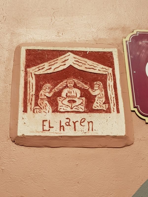
The Harem
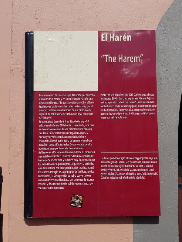
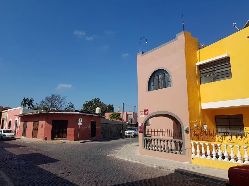
La numeración de fines del siglo XIX acabó por poner 64 a la calle de la ermita y en su cruce con la 75 sufre una desviación llamada “de punta de diamante”. Por el lado izquierdo se prolonga varias calles hacia el sur y por el derecho continúa con el número 64-A a principios del siglo XX. La confluencia de ambas vías lleva el nombre de “El harén”.
Se cuenta que desde la última década del siglo XIX existió en el número 509 de este cruzamiento, una casa en la cual don Manuel Arjona estableció una pensión que tenía un departamento de regadera, ducha y piscina y además contaba con servicios de bar y restaurant. En su interior tenía un escenario en el que actuaban compañías teatrales. Se comentaba que los huéspedes eran por lo común hombres solos. Así las cosas, el Sr. Arjona denominó desde su fundación a su establecimiento “El Harem”. Sitio muy conocido del barrio de San Sebastián y también muy frecuentado por los meridanos de aquella época. Al parecer, la actividad que desarrollaba con las especialidades citadas alcanzó los albores del siglo XX. A principios de la década de los años treinta, la vieja pensión se había convertido en una casa de vecindad habitada por personas de escasos recursos y finalmente fue demolida y reemplazada por construcciones modernas.
“The Harem”
Since the last decade of the 19th C. there was a house numbered 509 in this crossing, where Manuel Arjona set up a pension called The Harem. There was an area with showers and a swimming pool, in addition to a bar and a restaurant. There was also a stage where theater companies would perform. And it was said that guests were normally single men.
El Harén
Tu ts’ook ja'abilo’ob siglo XX ka anchaj jump’éel u najil yun Manuel Arjona tu xokolil 509 tu'ux ts'aab jump’éel u najil u'ulab tu k'aaba'ataj “EL HAREN” tu'ux yaan u kúuchil ichkíil yéetel ba’ab, ts’o’okole' yaan xan u kúuchil janal yéetel káaltali'. Yáan xan u kúuchil u beeta'al balts’mo’obi’. Xiibo’ob tu juunalo'ob xíilimbaltik le kúuchila’.
Erected by Ciudad de Mérida.
Topics. This historical marker is listed in these topic lists: Arts, Letters, Music • Entertainment • Notable Buildings.
Location. 20° 57.541′ N, 89° 37.689′ W. Marker is in Mérida, Yucatán. Marker is at the intersection of Calle 64A and Calle 75, on the left when traveling north on Calle 64A. Touch for map. Marker is in this post office area: Mérida YU 97000, Mexico. Touch for directions.
Other nearby markers. At least 8 other markers are within walking distance of this marker. General Manuel Cepeda Peraza (within shouting distance of this marker); Consuelo Zavala C. (about 120 meters away, measured in a direct line); Calle 64 (about 180 meters away); The House of the Headless Friar (about 210 meters away); The Hermitage (about 240 meters away); The San Juan Arch (approx. 0.4 kilometers away); Temple of Saint Sebastian (approx. 0.4 kilometers away); Colegio Montejo Annex (approx. 0.4 kilometers away). Touch for a list and map of all markers in Mérida.

Photographed By J. Makali Bruton, February 18, 2019
4. An additional nearby marker for the Royal Road to Campeche
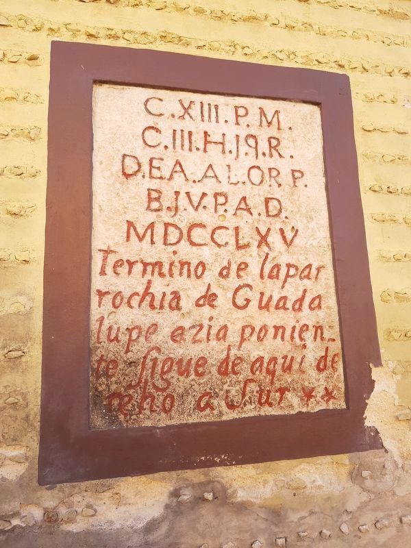
This additional enigmatic inscription is across the street from the featured marker and reads:
C. XII. P.M.
C. III.H.J.Q.R.
D.EA.AL.OR P.
B.J.V.P.A.D.
MDCCLXV
Termino de la parrochia de Guadalupe ezia poniente Sigue de aqui derecho a Sur
English translation:
1765
The Parish of Guadalupe ends here towards the west. Follow straight here to the south.
C. III.H.J.Q.R.
D.EA.AL.OR P.
B.J.V.P.A.D.
MDCCLXV
Termino de la parrochia de Guadalupe ezia poniente Sigue de aqui derecho a Sur
1765
The Parish of Guadalupe ends here towards the west. Follow straight here to the south.
Credits. This page was last revised on October 14, 2022. It was originally submitted on March 20, 2019, by J. Makali Bruton of Accra, Ghana. This page has been viewed 160 times since then and 7 times this year. Photos: 1, 2, 3, 4. submitted on March 20, 2019, by J. Makali Bruton of Accra, Ghana.


