Near Herington in Dickinson County, Kansas — The American Midwest (Upper Plains)
Dwight David Eisenhower
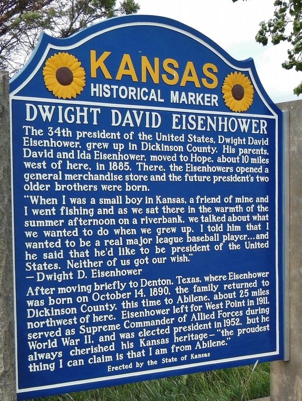
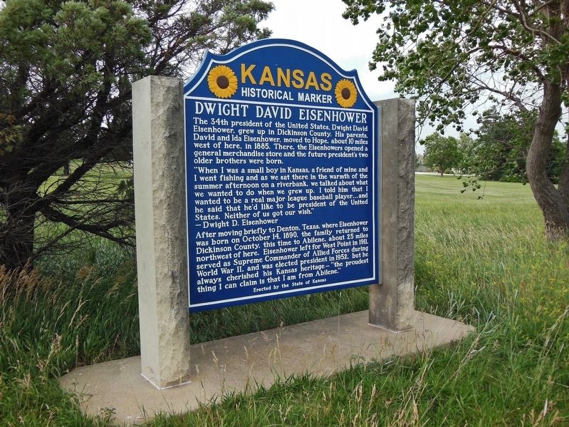
The 34th president of the United States, Dwight David Eisenhower, grew up in Dickinson County. His parents, David and Ida Eisenhower, moved to Hope, about 10 miles west of here, in 1885. There, the Eisenhowers opened a general merchandise store and the future president’s two older brothers were born.
”When I was a small boy in Kansas, a friend of mine and I went fishing and as we sat there in the warmth of the summer afternoon on a riverbank, we talked about what we wanted to do when we grew up. I told him that I wanted to be a real major league baseball player… and he said that he’d like to be president of the United States. Neither of us got our wish.”
-Dwight D. Eisenhower
After moving briefly to Denton, Texas, where Eisenhower was born on October 14, 1890, the family returned to Dickinson County, this time to Abilene, about 25 miles northwest of here. Eisenhower left for West Point in 1911, served as Supreme Commander of Allied Forces during World War II, and was elected president in 1952, but he always cherished his Kansas heritage – “the proudest thing I can claim is that I am from Abilene.”
Erected 2012 by State of Kansas. (Marker Number 29.)
Topics and series. This historical marker is listed in these topic lists: Government & Politics • Industry & Commerce • Settlements & Settlers • War, World II. In addition, it is included in the Former U.S. Presidents: #34 Dwight D. Eisenhower series list.
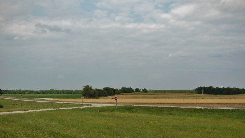
Location. 38° 38.928′ N, 96° 56.508′ W. Marker is near Herington, Kansas, in Dickinson County. Marker is on U.S. Highway 77 (U.S. 56) 0.1 miles south of Wind Road, on the right when traveling south. Marker is located in a large pull-out on the west side of the highway. Touch for map. Marker is in this post office area: Herington KS 67449, United States of America. Touch for directions.
Other nearby markers. At least 8 other markers are within 14 miles of this marker, measured as the crow flies. Rock Island Depot (approx. one mile away); Bicentennial Monument Dedication (approx. 1.1 miles away); Juan de Padilla Memorial (approx. 1.8 miles away); Vietnam Memorial (approx. 1.8 miles away); Hope City Bell (approx. 7.9 miles away); Wilbert Henry Otte (approx. 10.4 miles away); Chaplain (Father) Emil J. Kapaun (approx. 13.3 miles away); Chaplain (Captain) Emil J. Kapaun (approx. 13.4 miles away). Touch for a list and map of all markers in Herington.
Also see . . . Dwight D. Eisenhower (Wikipedia). Eisenhower was raised in Kansas in a large family of mostly Pennsylvania Dutch ancestry. He graduated from West Point in 1915 and later married Mamie Doud, with whom he had two sons. During World War I, he was denied a request to serve in Europe and instead commanded a unit that trained tank crews. Following the war, he served under various generals and was promoted to the rank of brigadier general in 1941. After the U.S. entered World War II, Eisenhower oversaw the invasions of North Africa and Sicily before supervising the invasions of France and Germany. After the war, Eisenhower served as Army Chief of Staff and then took on the role as president of Columbia University. In 1951–52, he served as the first Supreme Commander of NATO. (Submitted on March 23, 2019, by Cosmos Mariner of Cape Canaveral, Florida.)
Credits. This page was last revised on November 25, 2023. It was originally submitted on March 22, 2019, by Cosmos Mariner of Cape Canaveral, Florida. This page has been viewed 387 times since then and 37 times this year. Last updated on November 21, 2023, by Mark C. Will of Wichita, Kansas. Photos: 1, 2, 3. submitted on March 23, 2019, by Cosmos Mariner of Cape Canaveral, Florida. • J. Makali Bruton was the editor who published this page.


