Marine Villa in St. Louis, Missouri — The American Midwest (Upper Plains)
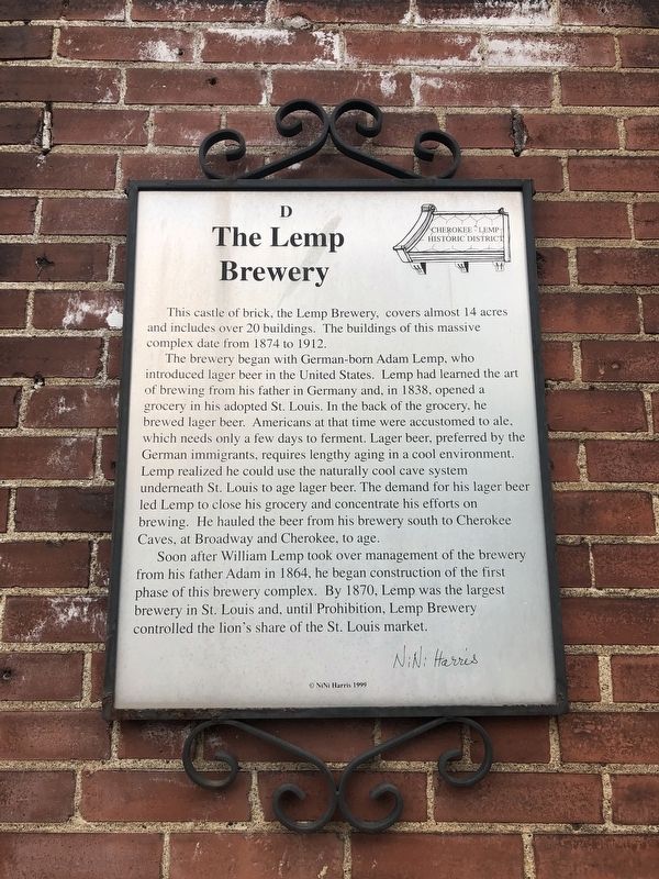
The Lemp Brewery
Cherokee-Lemp Historic District
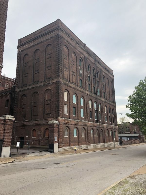
This castle of brick, the Lemp Brewery, covers almost 14 acres and includes over 20 buildings. The buildings of this massive complex date from 1874 to 1912.
The brewery began with German-born Adam Lemp, who introduced lager beer in the United States. Lemp had learned the art of brewing from his father in Germany and, in 1838, opened a grocery in his adopted St. Louis. In the back of the grocery, he brewed lager beer. Americans at that time were accustomed to ale, which needs only a few days to ferment. lager beer, preferred by the German immigrants, required a lengthy aging in a cool environment. Lemp realized he could use the naturally cool cave system underneath St. Louis to age lager beer. The demand for his lager beer led Lemp to close his grocery and concentrate his efforts on brewing. He hauled the beer from his brewery south to Cherokee Caves, at Broadway and Cherokee, to age.
Soon after William Lemp took over management of the brewery from his father Adam in 1864, he began construction of the first phase of this brewery complex. By 1870, Lemp was the largest brewery in St. Louis and, until Prohibition, Lemp Brewery controlled the lion's share of the St. Louis market.
Erected 1999 by NiNi Harris. (Marker Number D.)
Topics and series. This historical marker is listed in these topic lists: Industry & Commerce • Settlements & Settlers. In addition, it is included in the Missouri, St. Louis, The Cherokee-Lemp History Walk series list. A significant historical year for this entry is 1874.
Location. 38° 35.529′ N, 90° 13.017′ W. Marker is in St. Louis, Missouri. It is in Marine Villa. Marker is on Cherokee Street west of South 18th Street, on the right when traveling east. Touch for map. Marker is at or near this postal address: 4 Cherokee Street, Saint Louis MO 63118, United States of America. Touch for directions.
Other nearby markers. At least 8 other markers are within walking distance of this marker. The Bungalow (within shouting distance of this marker); Origins (within shouting distance of this marker); Cherokee Cave (within shouting distance of this marker); DeMenil Mansion (within shouting distance of this marker); DeMenil Place During The Gay Nineties (within shouting distance of this marker); International Shoe (within shouting distance of this marker); The Wagon House (about 400 feet away, measured in a direct line); 3319 DeMenil Place (about 500 feet away). Touch for a list and map of all markers in St. Louis.
Credits. This page was last revised on January 30, 2023. It was originally submitted on April 30, 2019, by Devry Becker Jones of Washington, District of Columbia. This page has been viewed 225 times since then and 17 times this year. Photos: 1, 2. submitted on April 30, 2019, by Devry Becker Jones of Washington, District of Columbia.

