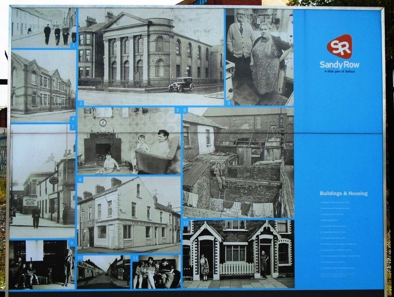
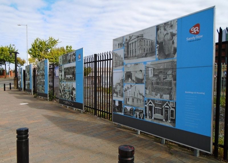
Buildings & Housing
Sandy Row
— A little part of Belfast —
[Historic photo captions read]
1. Residents of Tea Lane built in 1832
2. Great Victoria St Presbyterian Church
3. A typical kitchen in Tea Lane
4. Mabel Street School
5. A living room scene in Tea Lane
6. A Sandy Row backyard in 1974
7. The Boyne Tavern built in 1900
8. The Albion Bar, known locally as George's Bar
9. Living conditions in Sandy Row houses
10. The old whitewashed cottages on Rowland Street
11. A family home on Sandy Row
12. Neighbours chat in the terraced housing
Erected by Historic Sandy Row.
Topics. This historical marker is listed in this topic list: Notable Places. A significant historical year for this entry is 1832.
Location. 54° 35.611′ N, 5° 56.181′ W. Marker is in Belfast, Northern Ireland. Marker is at the intersection of Sandy Row and Hope Street, on the right when traveling north on Sandy Row. Touch for map. Marker is in this post office area: Belfast, Northern Ireland BT12 5DR, United Kingdom. Touch for directions.
Other nearby markers. At least 8 other markers are within walking distance of this marker. People (here, next to this marker); Industry (a few steps from this marker); Culture (a few steps from this marker); History (a few steps from this marker); King William III - "King Billy's on the Wall" (within shouting
Also see . . . Sandy Row at Wikipedia. (Submitted on May 21, 2019, by William Fischer, Jr. of Scranton, Pennsylvania.)
Credits. This page was last revised on October 6, 2021. It was originally submitted on May 21, 2019, by William Fischer, Jr. of Scranton, Pennsylvania. This page has been viewed 209 times since then and 23 times this year. Photos: 1, 2, 3. submitted on May 21, 2019, by William Fischer, Jr. of Scranton, Pennsylvania.


