National Register of Historic Places
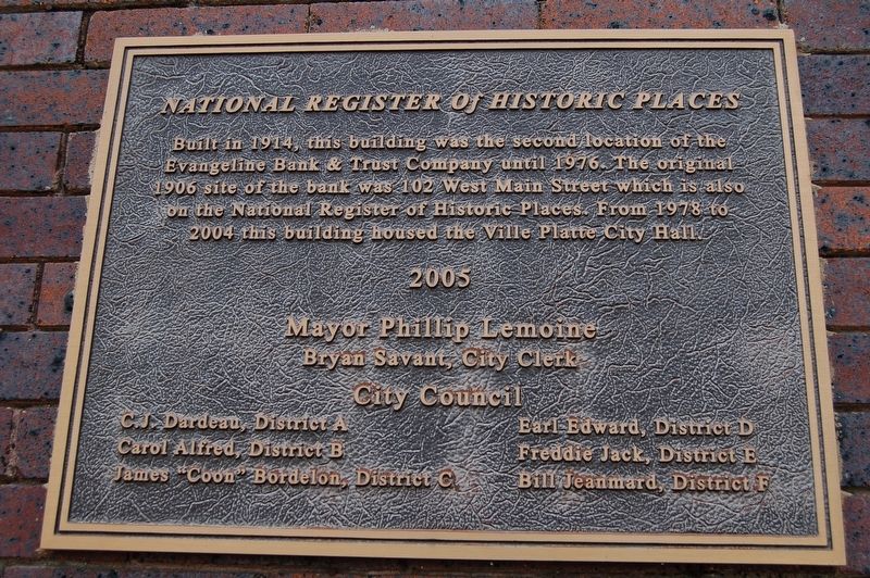
Built in 1914, this building was the second location of the Evangeline Bank & Trust Company until 1976. The original 1906 site of the bank was 102 West Main Street which is also on the National Register of Historic Places. From 1978 to 2004 this building housed the Ville Platte City Hall.
Mayor Phillip Lemoine
Bryan Savant, City Clerk
City Council
C.J. Dardeau, District A
Carol Alfred, District B
James "Coon” Bordelon, District C
Earl Edward, District D
Freddie Jack, District E
Bill Jeanmard, District F
Erected 2005.
Topics. This historical marker is listed in this topic list: Industry & Commerce.
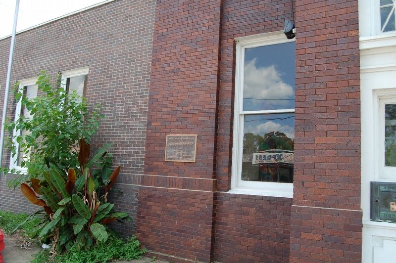
Location. 30° 41.384′ N, 92° 16.657′ W. Marker is in Ville Platte, Louisiana, in Evangeline Parish. Marker is on West Main Street near Court Street, on the right when traveling east. Touch for map. Marker is at or near this postal address: 342 West Main Street, Ville Platte LA 70586, United States of America. Touch for directions.
Other nearby markers. At least 8 other markers are within 16 miles of this marker, measured as the crow flies. Ville Platte (here, next to this marker); City of Ville Platte City Hall (here, next to this marker); Vietnam Veterans Memorial (about 500 feet away, measured in a direct line); Fred's Lounge
Credits. This page was last revised on May 30, 2022. It was originally submitted on May 25, 2019, by Cajun Scrambler of Assumption, Louisiana. This page has been viewed 180 times since then and 17 times this year. Photos: 1, 2. submitted on May 25, 2019.

