Near Edna in Jackson County, Texas — The American South (West South Central)
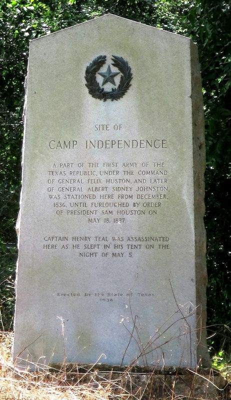
Site of Camp Independence
Captain Henry Teal was assassinated here as he slept in his tent on the night of May 5.
Erected 1936 by State of Texas. (Marker Number 4745.)
Topics and series. This historical marker is listed in this topic list: War, Texas Independence. In addition, it is included in the Texas 1936 Centennial Markers and Monuments series list. A significant historical date for this entry is May 18, 1837.
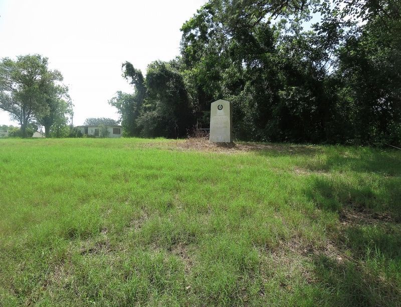
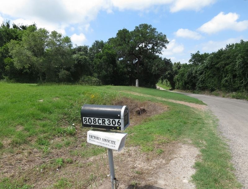
Location. 28° 55.796′ N, 96° 39.249′ W. Marker is near Edna, Texas, in Jackson County. Marker can be reached from Sayle Road (County Highway 306) 0.8 miles west of County Highway 1822, on the left when traveling west. The marker will be on your left about 50 feet up a rise beside the road. Touch for map. Marker is in this post office area: Edna TX 77957, United States of America. Touch for directions.
Other nearby markers. At least 8 other markers are within 4 miles of this marker, measured as the crow flies. La Bauve-Young-Payne Home (approx. 3.3 miles away); Jackson County (approx. 3.3 miles away); Macaroni Station (approx. 3.3 miles away); Confederates of Jackson County (approx. 3.4 miles away); Jackson County, C.S.A. (approx. 3.4 miles away); Early Jackson County (approx. 3.4 miles away); Mission Nuestra Señora del Espiritu Santo de Zuñiga (approx. 3½ miles away); Brackenridge Cemetery (approx. 3½ miles away). Touch for a list and map of all markers in Edna.
Regarding Site of Camp Independence. Captain Henry Teal did not appear to be of the personality to command men. Thus his murder, which angered Sam Houston who then furloughed the camp ending it.
Also see . . .
1. General Felix Huston in the Handbook of Texas. (Submitted on May 26, 2019, by Jim Evans of Houston, Texas.)
2. Captain Henry Teal in the Handbook of Texas. (Submitted on May 26, 2019, by Jim Evans of Houston, Texas.)
Credits. This page was last revised on May 27, 2019. It was originally submitted on May 26, 2019, by Jim Evans of Houston, Texas. This page has been viewed 276 times since then and 28 times this year. Photos: 1, 2, 3. submitted on May 26, 2019, by Jim Evans of Houston, Texas. • Bernard Fisher was the editor who published this page.


