Srigim, Jerusalem District, Israel — The Middle East (West Asia)
Tel Azekah
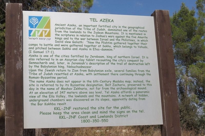
Ancient Azeka, an important fortified city in the geographical jurisdiction of the Tribe of Judah, dominated one of the routes from the lowlands to the Judean Mountains. It is mentioned in the scriptures in relation to Joshua's wars against the five Amorite kings and to the war between Israel and the Philistines, in which David slew Goliath: "Now the Plishtim gathered together their camps to battle and were gathered together at Sokho, which belongs to Yehuda, and pitched between Sokho and Azeka in Efes-dammim."
(I Samuel 17:1).
Azeka is one of the cities fortified by Jeroboam, king of northern Israel. It is also referred to in an Assyrian clay tablet recounting the city's conquest by Sennacherib and, later, in Jeremiah's description of the trail of destruction left by the Babylonian king, Nebuchadnezzar.
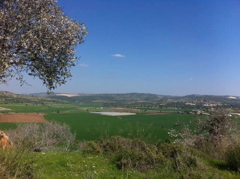
Upon the Jewish return to Zion from Babylonian exile, several families from the Tribe of Judah resettled at Azeka, with settlement there continuing through the Roman-Byzantine period. The name Azeka does not appear in the 6th-Century Madaba map; instead, the site is referred to by its Byzantine designation, Beit Zacharia, preserved to this day in the name of Moshav Zekharia, not far from the archaeological mound. At an elevation of 347 meters above sea level, Tel Azeka affords a panoramic view of the Eila Valley, the lowlands and the mountains. A network of hidden, underground chambers was discovered on its slopes, apparently dating from the Bar Kokhba revolt.
Topics. This historical marker is listed in these topic lists: Landmarks • Notable Places.
Location. 31° 42′ N, 34° 56.16′ E. Marker is in Srigim, Jerusalem District. Touch for map. Touch for directions.
Other nearby markers. At least 8 other markers are within 21 kilometers of this marker, measured as the crow flies. Might and Authority - the Royal Palace (approx. 17.2 kilometers away in Southern District); Confronting Enemy Threats - the City’s Fortifications (approx. 17.2 kilometers away in Southern District); Welcome to the City Gate (approx. 17.2 kilometers away in Southern District); Testimony to Approaching Disaster - the Lachish Letters (approx. 17.2 kilometers away in Southern District); Artist's Rendering of the City Gate (approx. 17.3 kilometers away in Southern District); Tel Lachish National Park (approx. 17.4 kilometers away in Southern District); Assault by Sennacherib's Army (approx. 17.4 kilometers away in Southern District); Major General Mickey Marcus (approx. 19.7 kilometers away).
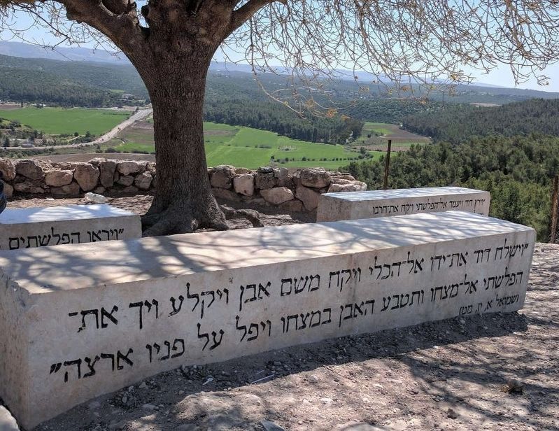
More about this marker. From the top of the hill where ancient Azekah is located there is a fine view of the Valley of Elah just below, where the famous biblical battle between David and Goliath took place. Large stones with quotes from 1 Samuel 17 describing the event are scattered around the site.
Also see . . .
1. Tel Azekah and Elah Valley Hike and Bible mentions. (Submitted on June 19, 2019, by Erez Speiser of Rakefet.)
2. Azekah in Wikipedia. (Submitted on June 19, 2019, by Erez Speiser of Rakefet.)
Credits. This page was last revised on January 31, 2022. It was originally submitted on June 19, 2019, by Erez Speiser of Rakefet. This page has been viewed 243 times since then and 18 times this year. Photos: 1, 2, 3. submitted on June 19, 2019, by Erez Speiser of Rakefet. • Andrew Ruppenstein was the editor who published this page.


