Near Dycusburg in Crittenden County, Kentucky — The American South (East South Central)
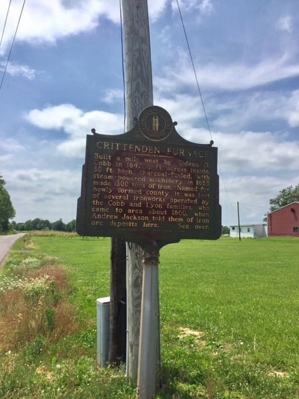
Crittenden Furnace
Built a mile west by Gideon D. Cobb in 1847, 9 feet across inside, 30 feet high, charcoal-fueled, with steam-powered machinery. In 1855 made 1300 tons of iron. Named for newly formed county, it was last of several ironworks operated by the Cobb and Lyon families, who came to area about 1800, when Andrew Jackson told them of iron ore deposits here. See over.
Reverse:
Iron Made In Kentucky - A major producer since 1791, Ky. ranked 3rd in US in 1830s, 11th in 1965. Charcoal timber, native ore, limestone supplied material for numerous furnaces making pig iron, utensils, munitions in the Hanging Rock, Red River, Between Rivers, Rolling Fork, Green River Regions. Old charcoal furnace era ended by depletion of ore and timber and the growth of railroads. See over.
Erected by Kentucky Historical Society and Kentucky Department of Highways. (Marker Number 1210.)
Topics and series. This historical marker is listed in this topic list: Industry & Commerce. In addition, it is included in the Former U.S. Presidents: #07 Andrew Jackson, and the Kentucky Historical Society series lists. A significant historical year for this entry is 1791.
Location. 37° 11.483′ N, 88° 10.081′ W. Marker is near Dycusburg, Kentucky, in Crittenden County. Marker is at the intersection of Kentucky Route 70 and Axel Creek Road, on the left when traveling north on State Route 70. Touch for map. Marker is in this post office area: Marion KY 42064, United States of America. Touch for directions.
Other nearby markers. At least 8 other markers are within 8 miles of this marker, measured as the crow flies. Centerville (approx. 5.7 miles away); Fredonia (approx. 6.1 miles away); Patriot Burials (approx. 6.2 miles away); Centreville Livingston Presbyterian Church Cemetery (approx. 6.2 miles away); a different marker also named Patriot Burials (approx. 6.2 miles away); Life of a County / Salem (approx. 6.7 miles away); Underwood Furnace / Iron Made in Kentucky (approx. 7.8 miles away); Hopewell Furnace / Iron Made in Kentucky (approx. 7.8 miles away).
Also see . . . KY Historical Markers - Crittenden County. Full transcript and marker number taken from this site. (Submitted on July 9, 2019, by Michael C. Wilcox of Winston-Salem, North Carolina.)
Credits. This page was last revised on December 14, 2019. It was originally submitted on July 9, 2019. This page has been viewed 323 times since then and 29 times this year. Photo 1. submitted on July 9, 2019.
Editor’s want-list for this marker. Close-up photo of marker so text is readable • close-up photo of other side of the marker • Can you help?
