Eagles Mere in Sullivan County, Pennsylvania — The American Northeast (Mid-Atlantic)
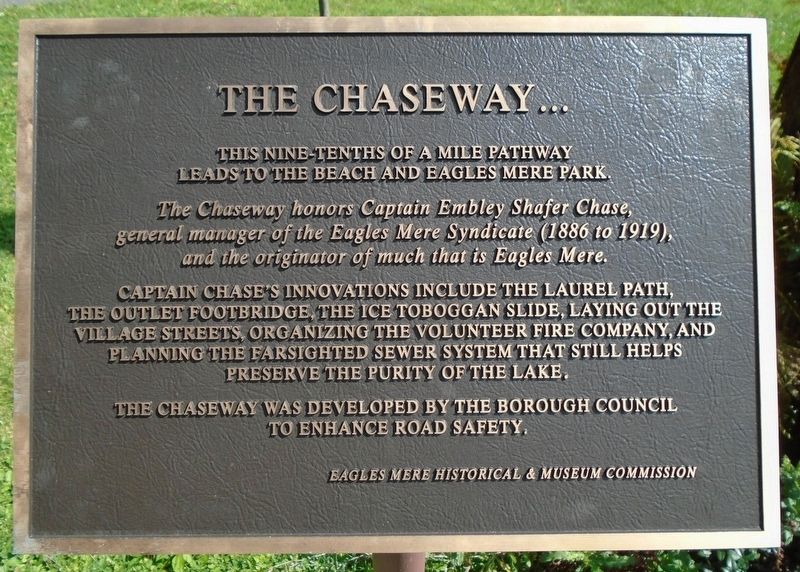
The Chaseway...
leads to the beach and Eagles Mere Park.
The Chaseway honors Captain Embley Shafer Chase,
general manager of the Eagles Mere Syndicate (1886 to 1919),
and the originator of much that is Eagles Mere.
Captain Chase's innovations include the Laurel Path,
the Outlet Footbridge, the Ice Toboggan Slide,
laying out the village streets, organizing the
volunteer fire company, and planning the
farsighted sewer system that still helps
preserve the purity of the lake.
The Chaseway was developed by the Borough Council
to enhance road safety.
Erected by Eagles Mere Historical & Museum Commission.
Topics. This historical marker is listed in this topic list: Notable Places.
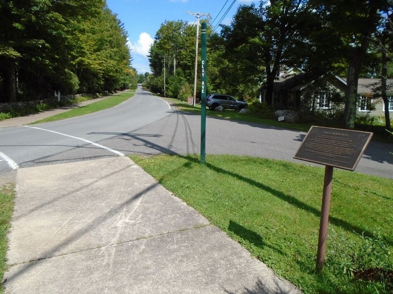
Location. 41° 24.744′ N, 76° 35.02′ W. Marker is in Eagles Mere, Pennsylvania, in Sullivan County. Marker is at the intersection of Pennsylvania Avenue and Clay Avenue, on the right when traveling north on Pennsylvania Avenue. Touch for map . Marker is in this post office area: Eagles Mere PA 17731, United States of America. Touch for directions.
Other nearby markers. At least 8 other markers are within walking distance of this marker. Seth Thomas Clock (about 500 feet away, measured in a direct line); Hiram's Landing (about 500 feet away); Hotel Eagles Mere (about 500 feet away); Eagles Mere Chautauqua (about 500 feet away); Eagles Mere Downtown Revitalization (about 500 feet away); Bell from the Eagles Mere School (about 600 feet away); Lewis Glass Works (about 700 feet away); Site of the Original Toboggan Slide (about 700 feet away). Touch for a list and map of all markers in Eagles Mere.
Credits. This page was last revised on January 20, 2020. It was originally submitted on September 6, 2019, by William Fischer, Jr. of Scranton, Pennsylvania. This page has been viewed 182 times since then and 16 times this year. Photos: 1, 2. submitted on September 6, 2019, by William Fischer, Jr. of Scranton, Pennsylvania.

