Larrys River in Guysborough County, Nova Scotia — The Atlantic Provinces (North America)
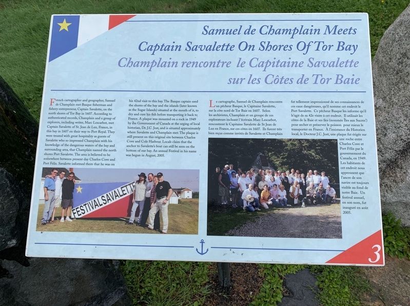
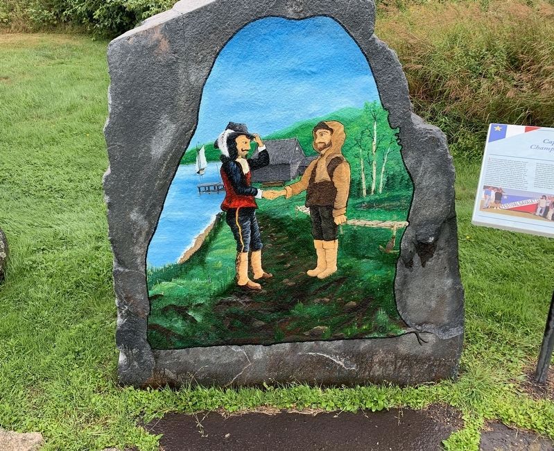
Samuel de Champlain Meets Captain Savalette On Shores of Tor Bay
Champlain rencontre le Capitaine Savalette sur les Côtes de Tor Baie
Inscription.
French cartographer and geographer, Samuel de Champlain met Basque fisherman and fishery entrepreneur, Captain Savalette, on the north shores of Tor Bay in 1607. According to authenticated records, Champlain and a group of explorers, including writer, Marc Lescarbot, met Captain Savalette of St. Jean de Luz, France, in this bay in 1607 on their way to Port Royal. They were treated with great hospitality as guests of Savalette who so impressed Champlain with his knowledge of the dangerous waters of the bay and surrounding area, that Champlain named the north shores Port Savalette. The area is believed to be somewhere between present day Charlos Cove and Port Felix. Savalette informed them that he was on his 42nd visit to this bay. The Basque captain used the shores of the bay and the islands (later known as the Sugar Islands) situated at the mouth of it, to dry and cure his fish before transporting it back to France. A plaque was mounted on a rock in 1949 by the Government of Canada at the urging of local historian, Dr. J.C. Jost, and is situated approximately where Savalette and Champlain met. The plaque is still present on this original site between Charlos Cove and Cole Harbour. Locals claim that the anchor to Savalette's boat can still be seen on the bottom of our bay. An annual Festival in his name was begun in August, 2005.
(Marker Number 3.)
Topics and series. This historical marker is listed in this topic list: Exploration.
In addition, it is included in the Acadian History series list. A significant historical month for this entry is August 2005.
Location. 45° 13.3′ N, 61° 22.644′ W. Marker is in Larrys River, Nova Scotia, in Guysborough County. Marker is at the intersection of Marine Drive (Nova Scotia Route 316) and Ballfield Loop, on the right when traveling west on Marine Drive. Touch for map. Marker is in this post office area: Larrys River NS B0H 1T0, Canada. Touch for directions.
Other nearby markers. At least 8 other markers are within walking distance of this marker. Acadian Dyke Building Along the Bay of Fundy (here, next to this marker); Settlement of l’Acadie 1604/1605 (here, next to this marker); French Expeditions Aimed At Settling North America (here, next to this marker); Grand-Pré (here, next to this marker); The Great Upheaval 1755-1763 (a few steps from this marker); The Scattering of a People (a few steps from this marker); The Resettlement (a few steps from this marker); Chezzetcook, Tracadie and Havre Boucher (a few steps from this marker). Touch for a list and map of all markers in Larrys River.
Credits. This page was last revised on October 30, 2020. It was originally submitted on October 17, 2019, by Steve Stoessel of Niskayuna, New York. This page has been viewed 198 times since then and 21 times this year. Photos: 1, 2. submitted on October 17, 2019, by Steve Stoessel of Niskayuna, New York. • Andrew Ruppenstein was the editor who published this page.

