Eureka in Eureka County, Nevada — The American Mountains (Southwest)
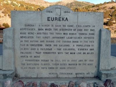
Eureka
1864 - 1964
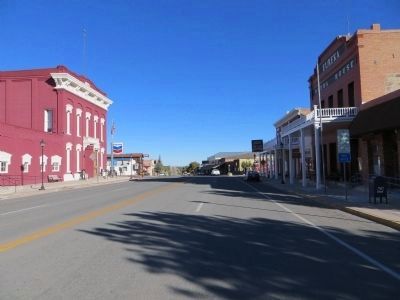
Production began to fall off in 1883 and by 1891 the smelters closed, their sites marked by the huge slag dumps seen at both ends of Main Street.
Nevada Centennial Marker No. 11
Erected 1964. (Marker Number 11.)
Topics. This historical marker is listed in this topic list: Settlements & Settlers. A significant historical month for this entry is September 1864.
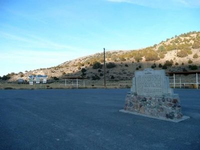
Location. 39° 30′ N, 115° 57.517′ W. Marker is in Eureka, Nevada, in Eureka County. Marker is on Highway 50, on the right when traveling east. Touch for map. Marker is in this post office area: Eureka NV 89316, United States of America. Touch for directions.
Other nearby markers. At least 8 other markers are within walking distance of this marker. Tannehill Cabin (approx. ¼ mile away); Eureka Opera House (approx. 0.8 miles away); Eureka Courthouse (approx. 0.9 miles away); Eureka Sentinel Building (approx. 0.9 miles away); Eureka Sentinel Newspaper (approx. 0.9 miles away); Eureka & Palisade RR (approx. 0.9 miles away); Bartine Outhouse (approx. 0.9 miles away); Charcoal Burners Massacred Aug. 18, 1879 (approx. 0.9 miles away). Touch for a list and map of all markers in Eureka.
Also see . . . New Amended Text for Marker. The Nevada State Historic Preservation Office (SHPO) recently updated the text of the roughly 260 state historical markers in Nevada. The Nevada SHPO placed the amended text of each individual marker on its website and will change the actual markers in the field as funding allows. Minor changes have been made to the marker for grammar and readability. The link will take you to the Nevada SHPO page for the marker with the amended text. (Submitted on November 12, 2013, by Duane Hall of Abilene, Texas.)
Credits. This page was last revised on October 27, 2020. It was originally submitted on December 25, 2008, by Karen Key of Sacramento, California. This page has been viewed 1,078 times since then and 21 times this year. Photos: 1, 2. submitted on December 25, 2008, by Karen Key of Sacramento, California. 3. submitted on October 22, 2013, by Bill Kirchner of Tucson, Arizona.


