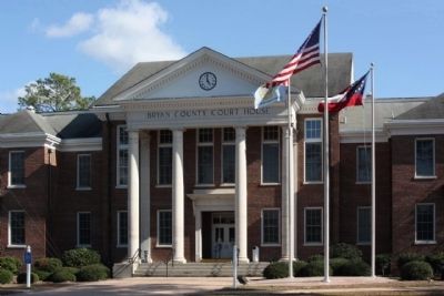
Pembroke in Bryan County, Georgia — The American South (South Atlantic)
Bryan County
Inscription.
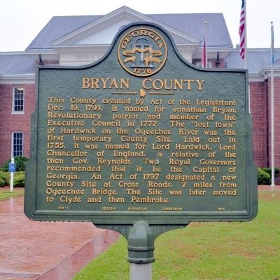
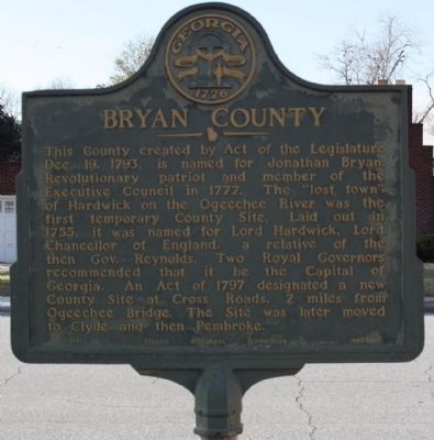
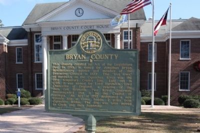
This County created by Act of the Legislature Dec. 19, 1793, is named for Jonathan Bryan, Revolutionary patriot and member of the Executive Council in 1777. The "lost town" of Hardwick on the Ogeechee River was the first temporary County Site. Laid out in 1755, it was named for Lord Hardwick, Lord Chancellor of England, a relative of the then Gov. Reynolds. Two Royal Governors recommended that it be the Capital of Georgia. An Act of 1797 designated a new County Site at Cross Roads, 2 miles from Ogeechee Bridge. The Site was later moved to Clyde and then Pembroke.
Erected 1954 by Georgia Historical Commission. (Marker Number 015-1.)
Topics and series. This historical marker is listed in these topic lists: Political Subdivisions • Settlements & Settlers. In addition, it is included in the Georgia Historical Society series list. A significant historical date for this entry is December 19, 1965.
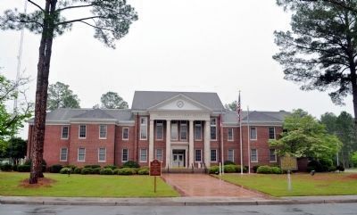
Location. 32° 8.009′ N, 81° 37.314′ W. Marker is in Pembroke, Georgia, in Bryan County. Marker is on South College Street (Georgia Route 67) near Courthouse Street, on the right when traveling north. At the Courthouse in Pembroke. Touch for map. Marker is at or near this postal address: 151 S College St, Pembroke GA 31321, United States of America. Touch for directions.
Other nearby markers. At least 8 other markers are within 13 miles of this marker, measured as the crow flies. A different marker also named Bryan County (a few steps from this marker); Old City Jail (about 300 feet away, measured in a direct line); Sherman's Right Wing (approx. 8.1 miles away); Old Sunbury Road (approx. 10.1 miles away); Old River Road (approx. 11.6 miles away); Upper Black Creek Primitive Baptist Church (approx. 11.7 miles away); Upper Black Creek Church (approx. 11.7 miles away); Nevils Station & Shearwood Railroad (approx. 12.2 miles away). Touch for a list and map of all markers in Pembroke.
Also see . . . Bryan County. New Georgia Encyclopedia website entry:
In 1861, after the start of the Civil War (1861-65), Confederate forces built Fort McAllister (Submitted on January 2, 2009, by Mike Stroud of Bluffton, South Carolina.)
Credits. This page was last revised on October 26, 2021. It was originally submitted on January 2, 2009, by Mike Stroud of Bluffton, South Carolina. This page has been viewed 1,222 times since then and 23 times this year. Photos: 1. submitted on May 3, 2012, by David Seibert of Sandy Springs, Georgia. 2, 3. submitted on January 2, 2009, by Mike Stroud of Bluffton, South Carolina. 4. submitted on May 3, 2012, by David Seibert of Sandy Springs, Georgia. 5. submitted on January 2, 2009, by Mike Stroud of Bluffton, South Carolina. • Kevin W. was the editor who published this page.
