Benicia in Solano County, California — The American West (Pacific Coastal)
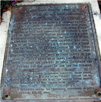
1854 Ė Saint Paulís Episcopal Church Ė 1954
In Honor of the One Hundredth Anniversary
Inscription.
Founded September 24, 1854, with the first service conducted by lay reader Major F. D. Townsend, U.S. Army, in the “Old Capital Building”, constructed from plans presented by Colonel Julian McAlister, of the Benicia Arsenal, in April 1859; Consecrated on February 12, 1860 by the Right Reverend William Ingraham Kip, D.D., First Episcopal Bishop of California; The Cathedral of the Missionary District of Northern California, 1874 – 1899. Under the Right Reverend J.H.D. Wingfield, D.D., First Episcopal Theological Seminary in the West, of Saint Augustineís School for Boys, of Saint Maryís of the Pacific for Girls, under Dean James Lloyd Breck, D.D. Served through the century by loyal clergymen and lay persons for the Glory of God and his Kingdom.
Erected 1954 by The Historic Landmarks Committee, Grand Parlor, Native Sons of the Golden West. Benicia Parlor No.89, Native Sons of the Golden West and Benicia Parlor No.287, Native Daughters of the Golden West. Marker dedicated during the Centennial Observance of Saint Paulís Church, October 17, 1954.
Topics and series. This historical marker is listed in this topic list: Churches & Religion. In addition, it is included in the Native Sons/Daughters of the Golden West series list. A significant historical date for this entry is September 24, 1854.
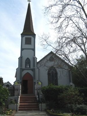
Location. 38° 3.115′ N, 122° 9.397′ W. Marker is in Benicia, California, in Solano County. Marker is located at the foot of the steps of St. Paul's Church. Touch for map. Marker is at or near this postal address: 120 East J Street, Benicia CA 94510, United States of America. Touch for directions.
Other nearby markers. At least 8 other markers are within walking distance of this marker. Saint Paul's Episcopal Church (here, next to this marker); First Masonic Hall Built in California (about 300 feet away, measured in a direct line); Site of the First Protestant Church in California (about 600 feet away); World War I Memorial (about 600 feet away); Site of Benicia Seminary (about 800 feet away); Fischer-Hanlon House (approx. 0.2 miles away); Founders of Benicia (approx. 0.2 miles away); Robert Semple (approx. 0.2 miles away). Touch for a list and map of all markers in Benicia.

Photographed By Syd Whittle, February 20, 2009
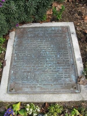
3. Saint Paulís Episcopal Church
(Marker is located in the garden to the left of the steps.)
Click for more information.
Click for more information.
Credits. This page was last revised on January 3, 2020. It was originally submitted on February 21, 2009, by Syd Whittle of Mesa, Arizona. This page has been viewed 1,420 times since then and 18 times this year. Photos: 1, 2, 3. submitted on February 21, 2009, by Syd Whittle of Mesa, Arizona.

