Near Earleville in Cecil County, Maryland — The American Northeast (Mid-Atlantic)
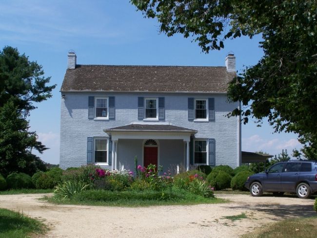
Mount Pleasant
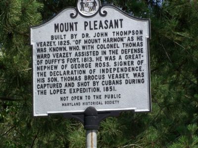
Built by Dr. John Thompson Veasey, 1825, “of Mount Harmon” as he was known, who, with Colonel Thomas Ward Veasey assisted in the defense of Duffy’s Fort, 1813. He was a greatnephew of George Ross, signer of the Declaration of Independence. His son, Thomas Brocus Veasey, was captured and shot by Cubans during the Lopez Expedition, 1851.
Erected by Maryland Historical Society.
Topics and series. This historical marker is listed in these topic lists: Settlements & Settlers • War of 1812 • War, Spanish-American. In addition, it is included in the Signers of the Declaration of Independence series list. A significant historical year for this entry is 1825.
Location. 39° 24.593′ N, 75° 55.299′ W. Marker is near Earleville, Maryland, in Cecil County. Marker is on Grove Neck Road, one mile west of Sandy Bottom Road, on the right when traveling west. Touch for map. Marker is in this post office area: Earleville MD 21919, United States of America. Touch for directions.
Other nearby markers. At least 8 other markers are within 3 miles of this marker, measured as the crow flies. Woodlawn (approx. ¾ mile away); Mount Harmon Plantation (approx. one mile away); North Sassafras Parish (approx. 1.1 miles away); St. Peters Episcopal Church Bell (approx. 1.1 miles away); Original Vestry House Memorial (approx. 1.1 miles away); Rose Hill (approx. 2 miles away); Plantation Life in the Colonial Era (approx. 2.1 miles away); Mount Harmon Plantation at World's End (approx. 2.1 miles away). Touch for a list and map of all markers in Earleville.
Also see . . . Mount Pleasant. Maryland Historic Trust Architectural Survey File PDF (Submitted on February 29, 2024, by Larry Gertner of New York, New York.)
Additional keywords. Narciso López
Credits. This page was last revised on February 29, 2024. It was originally submitted on July 15, 2007, by Bill Pfingsten of Bel Air, Maryland. This page has been viewed 2,397 times since then and 43 times this year. Last updated on January 8, 2020, by Carl Gordon Moore Jr. of North East, Maryland. Photos: 1, 2. submitted on July 15, 2007, by Bill Pfingsten of Bel Air, Maryland.

