Sampit in Georgetown County, South Carolina — The American South (South Atlantic)
Sampit Methodist Church
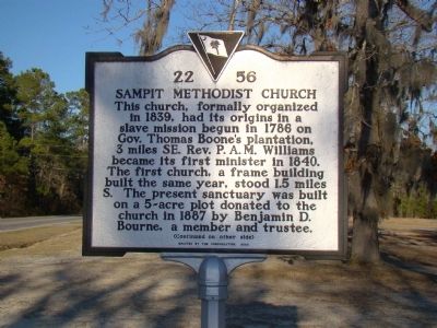
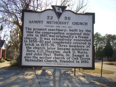
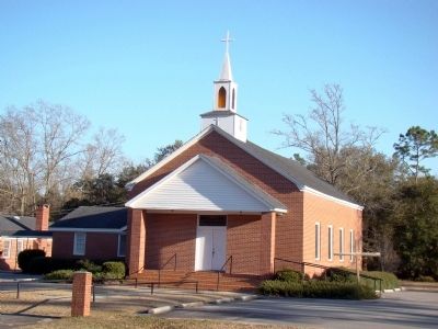
The present sanctuary, built by the time the congregation acquired this site in 1887, was originally a frame church. It was extensively renovated in 1859–60 and completely covered in brick in 1975–76. Three members of the church later became ministers: Revs. C. D. Huggins, Jack D. Watts, and John Paul Watts, Sr. Sampit is also the mother church of Oak Grove Methodist Church, founded in 1890.
Erected 2003 by the congregation. (Marker Number 22-56.)
Topics. This historical marker is listed in this topic list: Churches & Religion. A significant historical year for this entry is 1839.
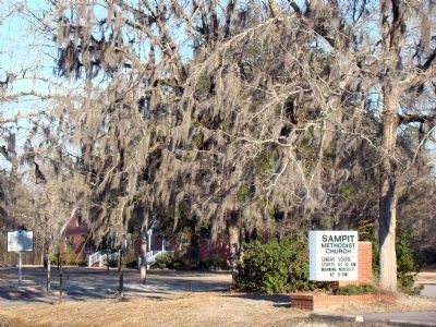
Location. 33° 21.861′ N, 79° 27.48′ W. Marker is in Sampit, South Carolina, in Georgetown County. Marker is on Saints Delight Road (Alternate U.S. 17) south of Highmarket Street / Georgetown Highway (U.S. 521), on the left when traveling south. Touch for map. Marker is at or near this postal address: 1125 Saints Delight Road, Georgetown SC 29440, United States of America. Touch for directions.
Other nearby markers. At least 8 other markers are within 10 miles of this marker, measured as the crow flies. Skirmish at Sampit Bridge (a few steps from this marker); Oak Grove Methodist Church (approx. 1.6 miles away); General Arthur M. Manigault (approx. 8.3 miles away); 1st Battalion 178th Field Artillery (approx. 8˝ miles away); Gabriel Marion (approx. 8.6 miles away); Georgetown County National Guard Memorial (approx. 8.8 miles away); Friendly Aid Society / Rosemont School (approx. 9.8 miles away); Potter's Field (approx. 9.8 miles away).
Credits. This page was last revised on June 16, 2016. It was originally submitted on March 14, 2009, by J. J. Prats of Powell, Ohio. This page has been viewed 1,351 times since then and 23 times this year. Photos: 1, 2, 3, 4, 5. submitted on March 14, 2009, by J. J. Prats of Powell, Ohio.


