Scottsville in Albemarle County, Virginia — The American South (Mid-Atlantic)
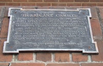
Hurricane Camille
This plaque was erected to remind all who read it of the vulnerability of mortal man to the elements and of the indomitable spirit of men who work together to rebuild.
Erected 1971 by National Bank and Trust Company.
Topics. This historical marker is listed in this topic list: Disasters. A significant historical year for this entry is 1969.
Location. 37° 47.9′ N, 78° 29.733′ W. Marker is in Scottsville, Virginia, in Albemarle County. Marker is on West Main Street just west of Valley Street (Virginia Route 20), on the left. Touch for map. Marker is in this post office area: Scottsville VA 24590, United States of America. Touch for directions.
Other nearby markers. At least 8 other markers are within 4 miles of this marker, measured as the crow flies. Historic Scottsville (about 300 feet away, measured in a direct line); Scottsville (about 600 feet away); Barclay House and Scottsville Museum (about 700 feet away); Scottsville Confederate Cemetery (approx. 0.3 miles away); Hatton Ferry (approx. 0.8 miles away); a different marker also named Hatton Ferry (approx. 2.9 miles away); a different marker also named Hatton Ferry (approx. 2.9 miles away); Wilson Cary Nicholas (approx. 3.6 miles away). Touch for a list and map of all markers in Scottsville.
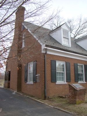
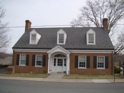
More about this marker. Marker is in front of the former National Bank and Trust Company building, which is now the James River Animal Hospital.
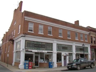
Also see . . . Scottsville Floods. “The rains of Hurricane Camille struck Scottsville unmercifully on the evening of August 19, 1969. Ten inches of rain fell before dawn, and some residents on Main Street were evacuated from the second story of their homes by boat. Cars, furniture, fences, and sodden merchandise bobbed about Main and Valley Streets. Before Scottsville could recover from the flood debts incurred from Camille, Hurricane Agnes struck with disastrous results on July 22, 1972. Bruce’s Drugstore on Valley and West Main Streets went under more than 12 feet of water as the ensuing flood crested at thirty-four feet.” (Submitted on April 14, 2009.)
Credits. This page was last revised on February 2, 2023. It was originally submitted on April 14, 2009, by J. J. Prats of Powell, Ohio. This page has been viewed 2,083 times since then and 36 times this year. Photos: 1, 2, 3, 4. submitted on April 14, 2009, by J. J. Prats of Powell, Ohio.


