Tiffin in Seneca County, Ohio — The American Midwest (Great Lakes)
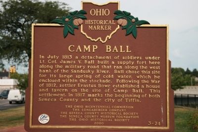
Camp Ball
Erected 2000 by The Ohio Bicentennial Commission, The Longaberger Company, The Seneca County Historical Society, The Seneca County Museum Foundation, The Ohio Historical Society. (Marker Number 3-74.)
Topics and series. This historical marker is listed in these topic lists: Forts and Castles • Settlements & Settlers • War of 1812. In addition, it is included in the Ohio Historical Society / The Ohio History Connection series list. A significant historical month for this entry is July 1813.
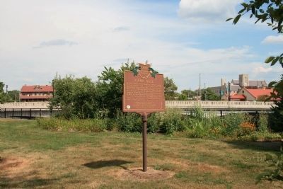
Location. 41° 7.069′ N, 83° 10.667′ W. Marker is in Tiffin, Ohio, in Seneca County. Marker is at the intersection of Frost Parkway and Adams Street, on the right when traveling east on Frost Parkway. This historical marker is located in Fort Ball Park, between the Sandusky River and Frost Parkway. This park was sponsored by the Tiffin Rotary Club. Touch for map. Marker is in this post office area: Tiffin OH 44883, United States of America. Touch for directions.
Other nearby markers. At least 8 other markers are within walking distance of this marker. Veteran's Memorial Bridge (within shouting distance of this marker); World War I (within shouting distance of this marker); Seneca County Civil War Monument (within shouting distance of this marker); Seneca County Vietnam Veterans Memorial (within shouting distance of this marker); Seneca County World War II Memorial (within shouting distance of this marker); Korean War (within shouting distance of this marker); All Patriots Memorial (about 300 feet away, measured in a direct line); Fort Ball (about 300 feet away). Touch for a list and map of all markers in Tiffin.
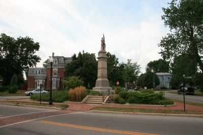
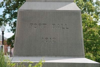
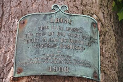
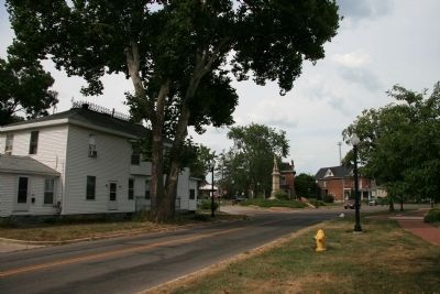
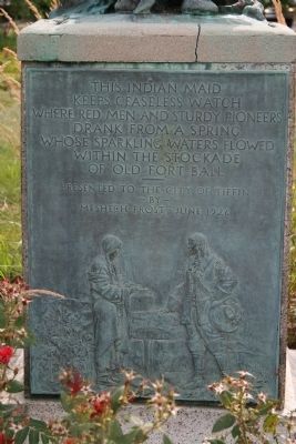
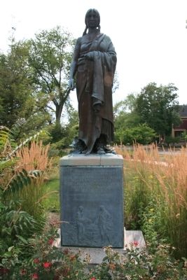
More about this marker. In the immediate area of this marker there are a number of additional memorials and historical plaques that are associated with Fort Ball. This would include a combination Civil War and War of 1812 monument across the street from the Camp Ball Historical Marker, a Fort Ball plaque on a nearby tree that dates back to the War of 1812, and a combination statue and memorial that commemorates the cold water spring that existed within the walls of Fort Ball.
Regarding Camp Ball. Fort Ball was part of a chain of forts
that were built by General Harrison, in the Sandusky River Valley, during the War of 1812. These forts were intended to protect the American lines of supply and communication as General Harrison attempted to both position and build up his forces while he was seeking the opportunity for an invasion of British controlled Canada.
Related markers. Click here for a list of markers that are related to this marker. To better understand the relationship, study each marker in the order shown.
Credits. This page was last revised on June 16, 2016. It was originally submitted on April 15, 2009, by Dale K. Benington of Toledo, Ohio. This page has been viewed 1,460 times since then and 49 times this year. Photos: 1, 2, 3, 4, 5, 6, 7. submitted on April 15, 2009, by Dale K. Benington of Toledo, Ohio. 8. submitted on April 16, 2009, by Dale K. Benington of Toledo, Ohio. • Bill Pfingsten was the editor who published this page.
