Downtown in Boston in Suffolk County, Massachusetts — The American Northeast (New England)
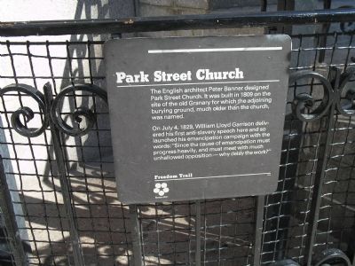
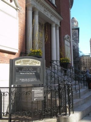
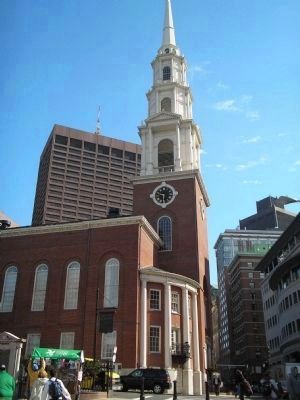
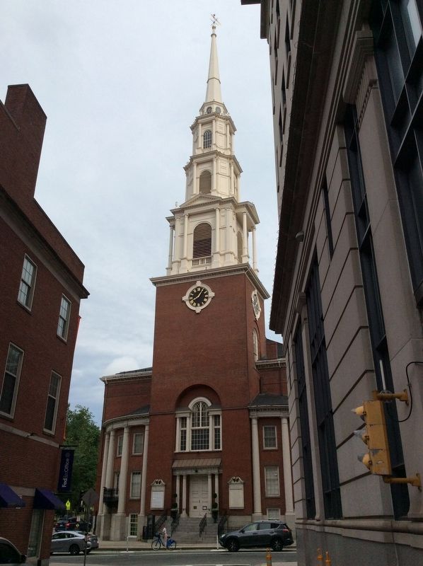
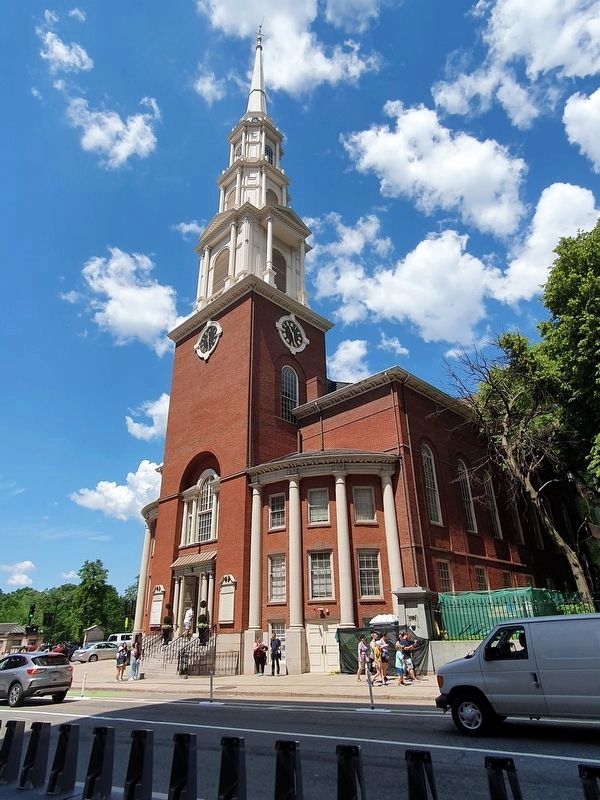
Park Street Church
Freedom Trail
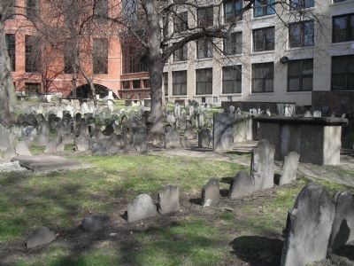
The English architect Peter Banner designed Park Street Church. It was built in 1809 on the site of the old Granary for which the adjoining burying ground, much older than the church, was named.
On July 4, 1829, William Lloyd Garrison delivered his first anti-slavery speech here and so launched his emancipation campaign with the words: “Since the cause of emancipation must progress heavily, and must meet with much unhallowed opposition – why delay the work?”
Erected by Boston 200.
Topics. This historical marker is listed in this topic list: Churches & Religion. A significant historical month for this entry is July 1780.
Location. 42° 21.398′ N, 71° 3.719′ W. Marker is in Boston, Massachusetts, in Suffolk County. It is in Downtown. Marker is at the intersection of Tremont Street and Park Street, on the right when traveling south on Tremont Street. Touch for map. Marker is in this post office area: Boston MA 02108, United States of America. Touch for directions.
Other nearby markers. At least 8 other markers are within walking distance of this marker. Park Street Congregational Church (a few steps from this marker); First Commercial Dental Laboratory in America (a few steps from this marker); Boston Common (a few steps from this marker); Manufactory House Site (within shouting distance of this marker); The Common / The Freedom Trail / America's First Subway (within shouting distance of this marker); Park Street Subway (within shouting distance of this marker); Power System of Boston’s Rapid Transit, 1889 (within shouting distance of this marker); Tremont Street Subway (within shouting distance of this marker). Touch for a list and map of all markers in Boston.
Also see . . . Park Street Church. Details of the Freedom Trail from the City of Boston website. (Submitted on April 19, 2009, by Bill Coughlin of Woodland Park, New Jersey.)
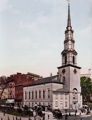
Photochrom postcard by the Detroit Photographic Company, 1904
7. Park Street Church, Boston, Mass.
Designed by Peter Banner, the 217 ft. steeple of Park Street Church was once the first landmark travelers saw when approaching Boston; a building that Author Henry James called “the most interesting mass of bricks and mortar in America.” Homage to famed architect Sir Christopher Wren (Banner modeled the spire after St. Bride’s Church in London)....The Freedom Trail Foundation
Image courtesy of the Yale Collection of Western Americana, Beinecke Rare Book and Manuscript Library.
Image courtesy of the Yale Collection of Western Americana, Beinecke Rare Book and Manuscript Library.
Credits. This page was last revised on January 30, 2023. It was originally submitted on April 19, 2009, by Bill Coughlin of Woodland Park, New Jersey. This page has been viewed 1,324 times since then and 58 times this year. Photos: 1, 2, 3. submitted on April 19, 2009, by Bill Coughlin of Woodland Park, New Jersey. 4. submitted on June 26, 2021, by J. Makali Bruton of Accra, Ghana. 5. submitted on June 28, 2021, by J. Makali Bruton of Accra, Ghana. 6. submitted on April 19, 2009, by Bill Coughlin of Woodland Park, New Jersey. 7. submitted on August 29, 2015.
