Gloucester Point in Gloucester County, Virginia — The American South (Mid-Atlantic)
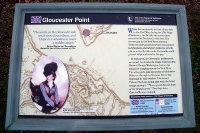
Gloucester Point
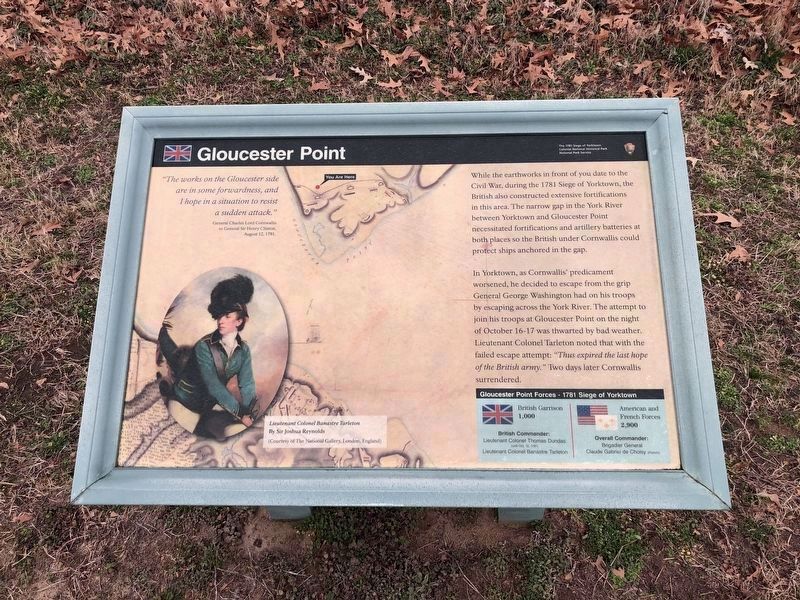
The 1781 Siege of Yorktown
— Colonial National Historical Park —
“The works on the Gloucester side are in some forwardness, and I hope a situation to resist a sudden attack.” General Charles Lord Cornwallis to General Sir Henry Clinton, August 12, 1781.
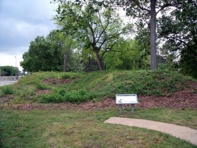
While the earthworks in front of you date to the Civil War, during the 1781 Siege of Yorktown, the British also constructed extensive fortifications in this area. The narrow gap in the York River between Yorktown and Gloucester Point necessitated fortifications and artillery batteries at both places so the British under Cornwallis could protect ships anchored in the gap.
In Yorktown, as Cornwallis’ predicament worsened, he decided to escape from the grip General George Washington had on his troops by escaping across the York River. The attempt to join his troops at Gloucester Point on the night of October 16-17 was thwarted by bad weather. Lieutenant Colonel Tarleton noted that with the failed escape attempt: “Thus expired the last hope of the British army.” Two days later Cornwallis surrendered.
[Sidebar:]
Gloucester Point Forces – 1781 Siege of Yorktown
British Garrison
1,000
British Commander:
Lieutenant Colonel Thomas Dundas (until Oct. 12, 1781)
Lieutenant Colonel Banastre Tarleton
American and French Forces
2,900
Overall Commander:
Brigadier General Claude Gabriel de Choisy (French)
Erected by National Park Service, U.S. Department of the Interior.
Topics. This historical marker is listed in this topic list: War, US Revolutionary. A significant historical date for this entry is October 16, 1927.
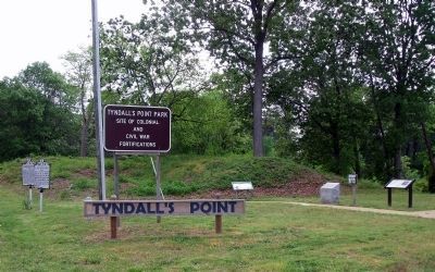
Location. 37° 15.022′ N, 76° 30.085′ W. Marker is in Gloucester Point, Virginia, in Gloucester County. Marker is on Vernon Street near Riverview Street, on the right when traveling south. The marker is located at the entrance to Tyndall’s Point Park. Touch for map. Marker is at or near this postal address: 1376 Vernon Street, Gloucester Point VA 23062, United States of America. Touch for directions.
Other nearby markers. At least 8 other markers are within walking distance of this marker. A different marker also named Gloucester Point (here, next to this marker); Welcome to Gloucester Point (here, next to this marker); Early Land Patent (here, next to this marker); After the Surrender at Yorktown (a few steps from this marker); Natives, Explorers, Tobacco and Buccaneers (a few steps from this marker); Parts of a Parrott Rifle (within shouting distance of this marker); A Vital British Outpost at Gloucester Point (within shouting distance of this marker); The British Safety Valve (within shouting distance of this marker). Touch for a list and map of all markers in Gloucester Point.
Photographed By Devry Becker Jones (CC0), February 26, 2021
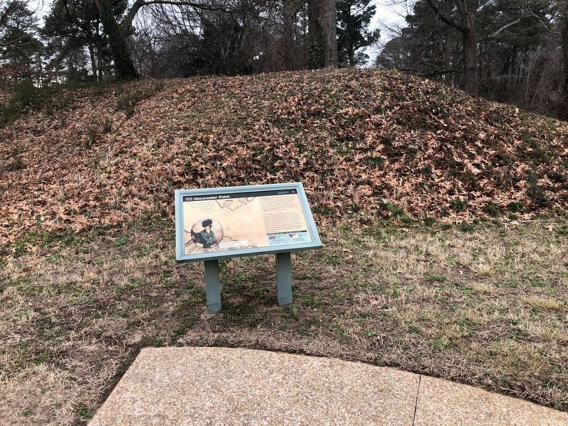
2. Gloucester Point Marker (updated)
While the information is identical, the formatting is slightly different.
