Gloucester Point in Gloucester County, Virginia — The American South (Mid-Atlantic)
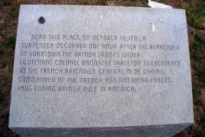
After the Surrender at Yorktown
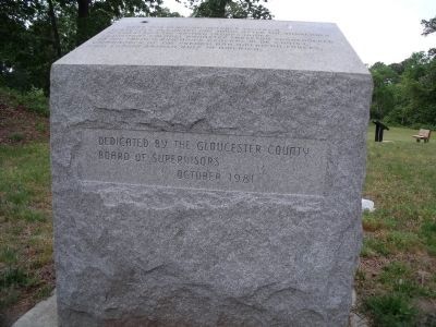
Erected 1981 by Gloucester County Board of Supervisors.
Topics. This historical marker is listed in this topic list: War, US Revolutionary. A significant historical month for this entry is October 1927.
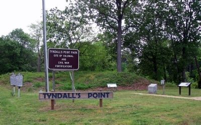
Location. 37° 15.027′ N, 76° 30.084′ W. Marker is in Gloucester Point, Virginia, in Gloucester County. Marker is on Vernon Street near Riverview Street, on the right when traveling south. The marker is located at the entrance to Tyndall's Point Park. Touch for map. Marker is at or near this postal address: 1376 Vernon Street, Gloucester Point VA 23062, United States of America. Touch for directions.
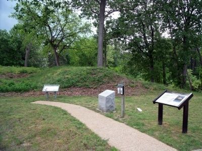
Other nearby markers. At least 8 other markers are within walking distance of this marker. Welcome to Gloucester Point (here, next to this marker); Early Land Patent (a few steps from this marker); Natives, Explorers, Tobacco and Buccaneers (a few steps from this marker); Gloucester Point (a few steps from this marker); a different marker also named Gloucester Point (a few steps from this marker); Parts of a Parrott Rifle (a few steps from this marker); A Vital British Outpost at Gloucester Point (a few steps from this marker); The British Safety Valve (a few steps from this marker). Touch for a list and map of all markers in Gloucester Point.
Credits. This page was last revised on June 28, 2021. It was originally submitted on May 7, 2009, by Bernard Fisher of Richmond, Virginia. This page has been viewed 1,097 times since then and 29 times this year. Photos: 1, 2, 3, 4. submitted on May 7, 2009, by Bernard Fisher of Richmond, Virginia.


