Antietam in Washington County, Maryland — The American Northeast (Mid-Atlantic)
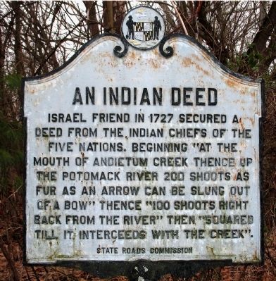
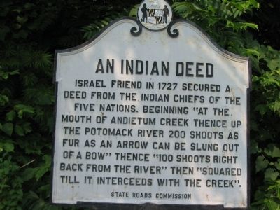
An Indian Deed
Erected by State Roads Commission.
Topics. This historical marker is listed in this topic list: Settlements & Settlers. A significant historical year for this entry is 1727.
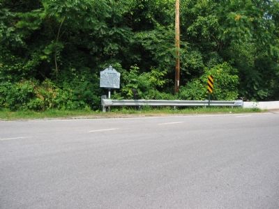
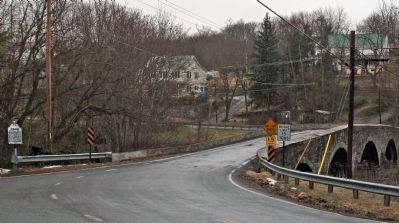
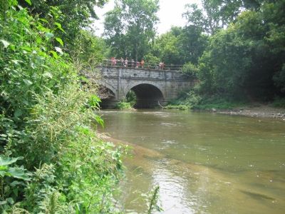
Location. 39° 24.997′ N, 77° 44.53′ W. Marker is in Antietam, Maryland, in Washington County. Marker is on Harpers Ferry Road near Limekiln Road, on the right when traveling north. Located on the south side of the bridge over Antietam Creek. Touch for map. Marker is in this post office area: Sharpsburg MD 21782, United States of America. Touch for directions.
Other nearby markers. At least 8 other markers are within 3 miles of this marker, measured as the crow flies. Antietam Iron Works Bridge (within shouting distance of this marker); A.P. Hillís March (approx. 1.8 miles away in West Virginia); Botelerís Ford Tablet B. F. 2 (approx. 2.1 miles away in West Virginia); Pack Horse Ford (approx. 2.1 miles away in West Virginia); Botelerís Ford Tablet B. F. 1 (approx. 2.1 miles away in West Virginia); Botelerís Ford Tablet B. F. 3 (approx. 2.1 miles away in West Virginia); Battle of Boteler's Ford (approx. 2.1 miles away in West Virginia); Shepherdstown Battlefield Preservation Association (approx. 2.1 miles away in West Virginia).
Also see . . . Biography of Israel Friend. (Submitted on August 3, 2007, by Craig Swain of Leesburg, Virginia.)
Photographed By Craig Swain, July 28, 2007
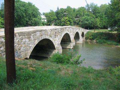
5. Bridge over Antietam Creek
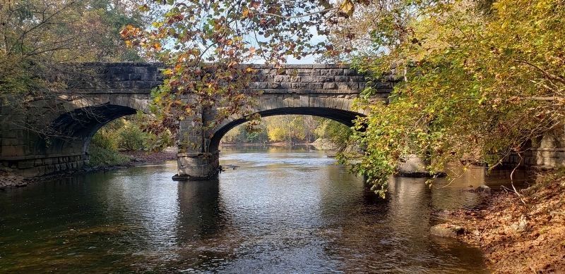
Known as Antietam Iron Works Bridge, this four arch stone bridge, built in 1832, is one of many in Washington County dating to the 19th Century. The site is often noted as a battleground between the Catawba and Delaware Indian tribes.
Credits. This page was last revised on March 1, 2021. It was originally submitted on August 3, 2007, by Craig Swain of Leesburg, Virginia. This page has been viewed 2,378 times since then and 74 times this year. Photos: 1. submitted on July 28, 2012, by Allen C. Browne of Silver Spring, Maryland. 2. submitted on August 3, 2007, by Craig Swain of Leesburg, Virginia. 3. submitted on July 28, 2012, by Allen C. Browne of Silver Spring, Maryland. 4, 5, 6. submitted on August 3, 2007, by Craig Swain of Leesburg, Virginia. 7. submitted on February 26, 2021, by Bradley Owen of Morgantown, West Virginia. 8. submitted on August 3, 2007, by Craig Swain of Leesburg, Virginia. • J. J. Prats was the editor who published this page.
