Harpers Ferry in Jefferson County, West Virginia — The American South (Appalachia)
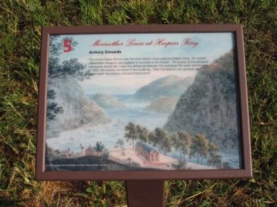
Armory Grounds
— Meriwether Lewis at Harpers Ferry —
Topics and series. This historical marker is listed in these topic lists: Exploration • Industry & Commerce. In addition, it is included in the Lewis & Clark Expedition series list. A significant historical year for this entry is 1803.
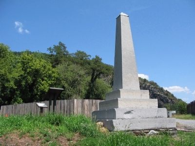
Location. 39° 19.417′ N, 77° 43.8′ W. Marker is in Harpers Ferry, West Virginia, in Jefferson County. Marker is on Potomac Street, on the right when traveling west. Located next to the "Six Acres That Changed the World" Marker by the steps leading to the Amory Grounds Site. Formerly located on top of an embankment next to the John Brown Memorial in Harpers Ferry Historical Site. Touch for map. Marker is in this post office area: Harpers Ferry WV 25425, United States of America. Touch for directions.
Other nearby markers. At least 8 other markers are within walking distance of this marker. Six Acres That Changed the World (a few steps from this marker); Home of Joseph Perkins (a few steps from this marker); Lewis and Clark (a few steps from this marker); Short-lived Sanctuary (a few steps from this marker); John Brown Monument (a few steps from this marker); John Brown's Last Stand (a few steps from this marker); White Hall Tavern (within shouting distance of this marker); "I just had to speak out" (within shouting distance of this marker). Touch for a list and map of all markers in Harpers Ferry.
Credits. This page was last revised on June 16, 2016. It was originally submitted on May 5, 2009, by Craig Swain of Leesburg, Virginia. This page has been viewed 1,479 times since then and 22 times this year. Last updated on July 3, 2009, by Henry T. McLin of Hanover, Pennsylvania. Photos: 1. submitted on May 10, 2009, by Craig Swain of Leesburg, Virginia. 2. submitted on May 5, 2009, by Craig Swain of Leesburg, Virginia.

