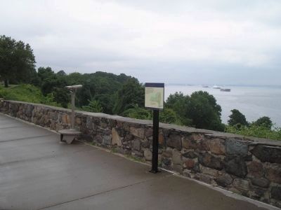
Fort Wadsworth on Staten Island in Richmond County, New York — The American Northeast (Mid-Atlantic)
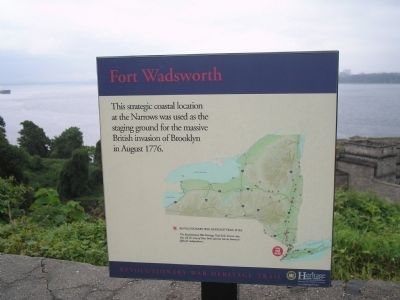
Fort Wadsworth
Revolutionary War Heritage Trail
Erected by State of New York.
Topics. This historical marker is listed in this topic list: War, US Revolutionary. A significant historical month for this entry is August 1776.
Location. 40° 36.299′ N, 74° 3.337′ W. Marker is on Staten Island, New York, in Richmond County. It is in Fort Wadsworth. Marker is on Hudson Road, on the right when traveling north. Marker is located in the Fort Wadsworth Unit of Gateway National Recreation Area. Touch for map. Marker is in this post office area: Staten Island NY 10305, United States of America. Touch for directions.
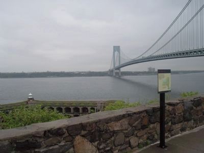
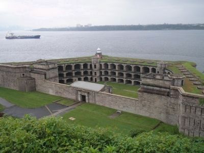
Other nearby markers. At least 8 other markers are within walking distance of this marker. Defending New York Harbor (within shouting distance of this marker); Fort Tompkins (within shouting distance of this marker); Battery Weed (within shouting distance of this marker); Verrazano – Narrows Bridge (within shouting distance of this marker); Torpedo Building (about 300 feet away, measured in a direct line); Battery Duane (about 300 feet away); Dry Moat and Counterscarp (about 300 feet away); a different marker also named Battery Weed (about 300 feet away). Touch for a list and map of all markers in Staten Island.
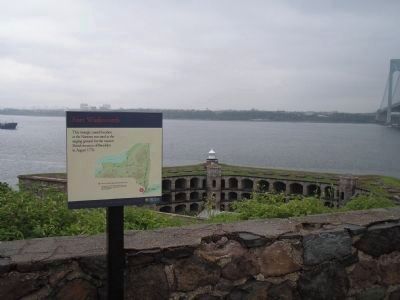
More about this marker. The marker features a map of New York State with Revolutionary War Heritage Trail Sites indicated. It has a caption of “The Revolutionary War Heritage Trail links historic sites that tell the story of New York’s decisive role in America’s fight for independence.”
Also see . . . Fort Wadsworth. National Park Service website entry (Submitted on May 16, 2022, by Larry Gertner of New York, New York.)
Credits. This page was last revised on February 9, 2023. It was originally submitted on August 13, 2009, by Bill Coughlin of Woodland Park, New Jersey. This page has been viewed 1,032 times since then and 64 times this year. Photos: 1, 2, 3, 4, 5. submitted on August 13, 2009, by Bill Coughlin of Woodland Park, New Jersey.
