Harding in Morris County, New Jersey — The American Northeast (Mid-Atlantic)
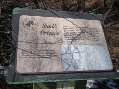
Stark’s Brigade
Morristown National Historical Park
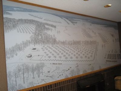
An unknown soldier in Stark’s Brigade drew a map of the huts here. Primitive as it looks, archeologists found it so accurate that they sometimes thought they knew whose hut they were excavating.
Erected by Morristown National Historical Park.
Topics. This historical marker is listed in this topic list: War, US Revolutionary.
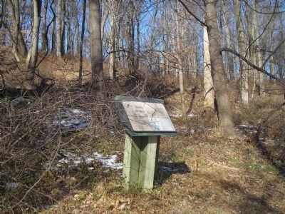
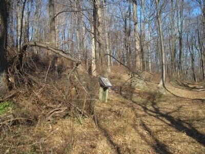
Location. 40° 45.91′ N, 74° 31.073′ W. Marker is in Harding, New Jersey, in Morris County. Marker can be reached from Jockey Hollow Road, on the left when traveling south. Marker is located in the Jockey Hollow Unit of Morristown National Historical Park, along the Mt. Kemble loop trail. Touch for map. Marker is in this post office area: Morristown NJ 07960, United States of America. Touch for directions.
Other nearby markers. At least 8 other markers are within walking distance of this marker. On the line (a few steps from this marker); a different marker also named Stark’s Brigade (within shouting distance of this marker); a different marker also named Stark’s Brigade (within shouting distance of this marker); Remembering the Past: Stark’s Brigade Monument circa 1900 (within shouting distance of this marker); Mountain School (approx. 0.6 miles away); The Guerin House (approx. ¾ mile away); The New York Brigade (approx. ¾ mile away); Mt. Kemble-Glen Alpin (approx. 0.8 miles away). Touch for a list and map of all markers in Harding.
Also see . . . Morristown National Historical Park. National Park Service website. (Submitted on December 14, 2009, by Bill Coughlin of Woodland Park, New Jersey.)
Credits. This page was last revised on June 16, 2016. It was originally submitted on December 14, 2009, by Bill Coughlin of Woodland Park, New Jersey. This page has been viewed 1,587 times since then and 31 times this year. Last updated on December 15, 2009, by Anne DeGraaf of Morristown, New Jersey. Photos: 1, 2, 3, 4, 5. submitted on December 14, 2009, by Bill Coughlin of Woodland Park, New Jersey. • Kevin W. was the editor who published this page.
