West Oak Hill in Austin in Travis County, Texas — The American South (West South Central)
Oak Hill
Inscription.
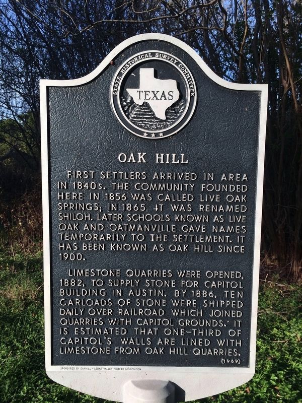
First settlers arrived in area in 1840s. The community founded here in 1856 was called Live Oak Springs; in 1865 it was renamed Shiloh. Later schools known as Live Oak and Oatmanville gave names temporarily to the settlement. It has been known as Oak Hill since 1900.
Limestone quarries were opened, 1882, to supply stone for capitol building in Austin. By 1886, ten carloads of stone were shipped daily over railroad which joined quarries with capitol grounds. It is estimated that one-third of capitol's walls are lined with limestone from Oak Hill quarries.
Erected 1969 by State Historical Survey Committee. (Marker Number 12695.)
Topics. This historical marker is listed in these topic lists: Natural Resources • Settlements & Settlers. A significant historical year for this entry is 1856.
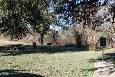
Location. 30° 14.059′ N, 97° 52.126′ W. Marker is in Austin, Texas, in Travis County. It is in West Oak Hill. Marker is on U.S. 290 west of William Cannon Drive, on the right when traveling west. Touch for map. Marker is in this post office area: Austin TX 78735, United States of America. Touch for directions.
Other nearby markers. At least 8 other markers are within 5 miles of this marker, measured as the crow flies. Old Rock Store (approx. 0.6 miles away); Kincheonville (approx. 3 miles away); The Johnson Smokehouse (approx. 4.1 miles away); Eanes-Marshall Ranch (approx. 4˝ miles away); Eanes School and Chapel (approx. 4.7 miles away); Eanes Cemetery (approx. 4.7 miles away); Roberts-Teague Cemetery (approx. 4.8 miles away); Broken Spoke (approx. 5 miles away). Touch for a list and map of all markers in Austin.
Also see . . . The Handbook of Texas Online - Oak Hill, Texas. (Submitted on January 3, 2010, by Keith Peterson of Cedar Park, Texas.)
Credits. This page was last revised on February 1, 2023. It was originally submitted on January 3, 2010, by Keith Peterson of Cedar Park, Texas. This page has been viewed 1,613 times since then and 55 times this year. Photos: 1. submitted on February 14, 2021, by Richard Denney of Austin, Texas. 2, 3. submitted on January 3, 2010, by Keith Peterson of Cedar Park, Texas. • Bill Pfingsten was the editor who published this page.


