Mahwah in Bergen County, New Jersey — The American Northeast (Mid-Atlantic)
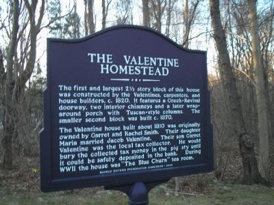
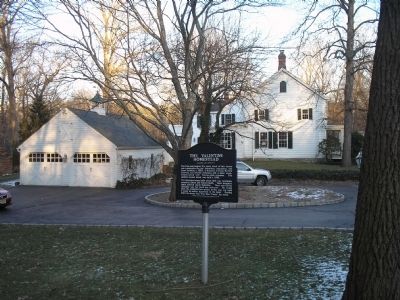
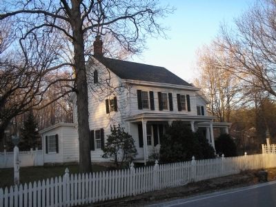
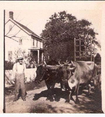
The Valentine Homestead
The Valentine house built about 1810 was originally owned by Garret and Rachel Smith. Their daughter Maria married Jacob Valentine. Their son Garret Valentine was the local tax collector. He would bury the collected tax money in the pig sty until it could be safely deposited in the ban. During WWII the house was “The Blue Churn” tea room.
Erected 2004 by Mahwah Historic Preservation Commission.
Topics. This historical marker is listed in these topic lists: Architecture • Settlements & Settlers. A significant historical year for this entry is 1820.
Location. 41° 1.9′ N, 74° 9.187′ W. Marker is in Mahwah, New Jersey, in Bergen County. Marker is on Forest Road west of Mac Intyre Lane, on the left when traveling east. Touch for map. Marker is in this post office area: Mahwah NJ 07430, United States of America. Touch for directions.
Other nearby markers. At least 8 other markers are within 2 miles of this marker, measured as the crow flies. The Ackerman House (approx. 0.8 miles away); David Van Gelder House (approx. one mile away); Van Houten-Yeomans Homestead (approx. one mile away); Allendale Veterans Monument (approx. 1.1 miles away); Waldwick Tower (approx. 1.9 miles away); Harvey Springstead (approx. 1.9 miles away); Waldwick Erie Interlocking Tower (approx. 1.9 miles away); Van Voorhees – Quackenbush – Zabriskie House (approx. 1.9 miles away).
Credits. This page was last revised on July 29, 2020. It was originally submitted on January 31, 2010, by Bill Coughlin of Woodland Park, New Jersey. This page has been viewed 2,605 times since then and 83 times this year. Photos: 1, 2, 3. submitted on January 31, 2010, by Bill Coughlin of Woodland Park, New Jersey. 4. submitted on January 14, 2011, by Warren Storms of Mahwah, New Jersey.


