Winfield in Columbia County, Georgia — The American South (South Atlantic)
Shiloh Methodist Church
»—→
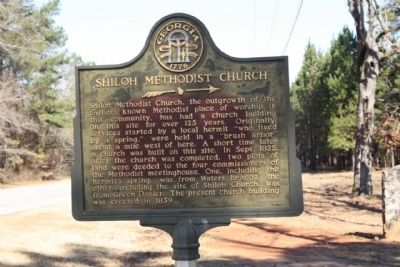
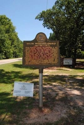
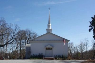
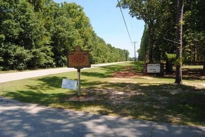
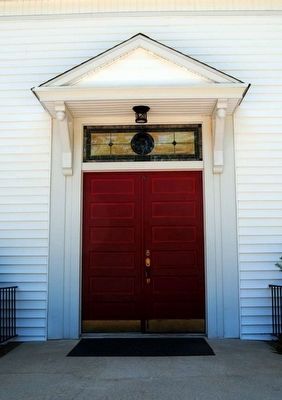
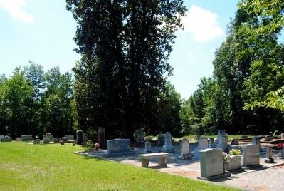
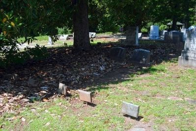
Shiloh Methodist Church, the outgrowth of the earliest known Methodist place of worship in this community, has had a church building on this site for over 125 years. Originally, services started by a local hermit "who lived by a spring," were held in a "brush arbor" about a mile west of here. A short time later a church was built on this site. In Sept. 1825, after the church was completed, two plots of land were deeded to the four commissioners of the Methodist meetinghouse. One, including the hermit's spring, was from Waters Briscoe, the other, including the site of Shiloh Church, was from Green Dozier. The present church building was erected in 1859.
Erected 1956 by Georgia Historical Commission. (Marker Number 36-03.)
Topics and series. This historical marker is listed in this topic list: Churches & Religion. In addition, it is included in the Georgia Historical Society series list. A significant historical month for this entry is September 1825.
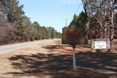
Location. 33° 35.524′ N, 82° 24.785′ W. Marker is in Winfield, Georgia, in Columbia County. Marker is on Cobbham Road (State Road 150), on the right when traveling north. Northeast of Cobbham Road. Touch for map. Marker is at or near this postal address: 5970 Cobbham Road, Appling GA 30802, United States of America. Touch for directions.
Other nearby markers. At least 10 other markers are within 8 miles of this marker , measured as the crow flies. William Few (approx. 1.1 miles away); Sharon Baptist Church (approx. 1.4 miles away); Basil Neal - Soldier of '76 (approx. 2.2 miles away); First Baptist Church in Georgia (approx. 6.1 miles away); Religious Liberty in Georgia (approx. 6.1 miles away); Columbia County (approx. 6.4 miles away); Woodmen of the World Veterans Monument (approx. 6.4 miles away); Rev. Daniel Marshall (approx. 6˝ miles away); Jabez Pleiades Marshall (approx. 7.1 miles away); Damascus Baptist Church (approx. 7˝ miles away). Touch for a list and map of all markers in Winfield.
Also see . . . Shiloh Methodist Church. (Submitted on August 26, 2015, by Brian Scott of Anderson, South Carolina.)
Credits. This page was last revised on May 30, 2020. It was originally submitted on February 1, 2010, by Mike Stroud of Bluffton, South Carolina. This page has been viewed 1,244 times since then and 42 times this year. Photos: 1. submitted on February 1, 2010, by Mike Stroud of Bluffton, South Carolina. 2. submitted on August 26, 2015, by Brian Scott of Anderson, South Carolina. 3, 4. submitted on February 1, 2010, by Mike Stroud of Bluffton, South Carolina. 5, 6, 7, 8, 9, 10. submitted on August 26, 2015, by Brian Scott of Anderson, South Carolina. • Syd Whittle was the editor who published this page.
