Privateer in Sumter County, South Carolina — The American South (South Atlantic)
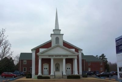
Bethel Baptist Church
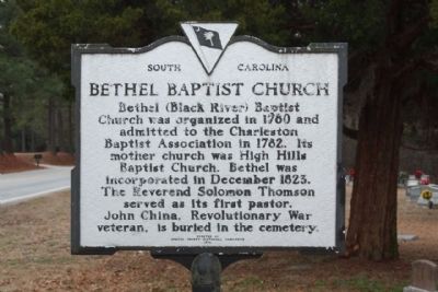
Bethel (Black River) Baptist Church was organized in 1780 and admitted to the Charleston Baptist Association in 1782. Its mother church was High Hills Baptist Church. Bethel was incorporated in December 1823. The Reverend Solomon Thomson served as its first pastor. John China, Revolutionary War veteran, is buried in the cemetery.
(Reverse text)
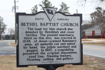
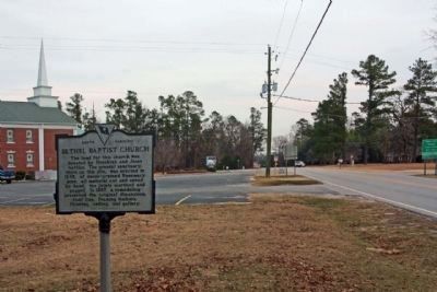
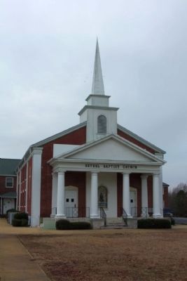
The land for this church was donated by Hezekiah and Jesse Nettles. The present sanctuary, third on this site, was erected in 1849, of dense-grained Rosemary pine; all material cut and sawed by hand, the joints mortised and pegged. In 1967 a remodeling preserved the original dimensions, roof line, framing timbers, flooring, ceiling, and gallery.
Erected 1974 by Sumter County Historical Association. (Marker Number 43-17.)
Topics. This historical marker is listed in this topic list: Charity & Public Work. A significant historical month for this entry is December 1823.
Location. 33° 49.591′ N, 80° 23.717′ W. Marker is in Privateer, South Carolina, in Sumter County. Marker is on Bethel Church Road near Starks Ferry Road, on the right when traveling south. Touch for map. Marker is in this post office area: Sumter SC 29154, United States of America. Touch for directions.
Other nearby markers. At least 8 other markers are within 7 miles of this marker, measured as the crow flies. Enon Baptist Church (approx. 2.6 miles away); Battle of Dingles Mill (approx. 4.8 miles away); Site of The Battle of Dingle's Mill (approx. 4.8 miles away); a different marker also named Battle of Dingle's Mill (approx. 4.8 miles away); Henry J. Maxwell Farm (approx. 5.6 miles away); The Britton Community / Britton Siding (approx. 5.6 miles away); Mt. Zion Methodist Church (approx. 6.4 miles away); Chase At Richbourg’s Mill (approx. 6½ miles away).
Credits. This page was last revised on June 16, 2016. It was originally submitted on February 8, 2010, by Mike Stroud of Bluffton, South Carolina. This page has been viewed 1,179 times since then and 53 times this year. Photos: 1, 2, 3, 4, 5. submitted on February 8, 2010, by Mike Stroud of Bluffton, South Carolina. • Craig Swain was the editor who published this page.
