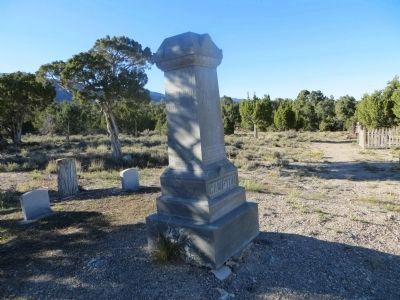
Near Ely in White Pine County, Nevada — The American Mountains (Southwest)
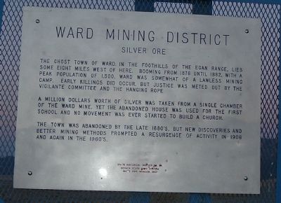
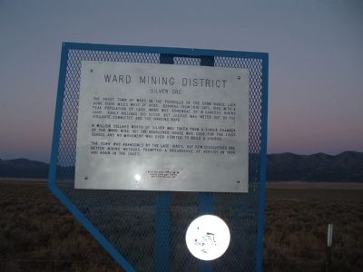
Ward Mining District
Silver Ore
A million dollars worth of silver was taken from a single chamber of the Ward Mine, yet the abandoned house was used for the first school and no movement was ever started to build a church.
The town was abandoned by the late 1880's, but new discoveries and better mining methods prompted a resurgence of activity in 1906 and again in the 1960's.
Erected by Nevada State Park System and White Pine Museum Inc. (Marker Number 54.)
Topics. This historical marker is listed in these topic lists: Industry & Commerce • Notable Places. A significant historical year for this entry is 1876.
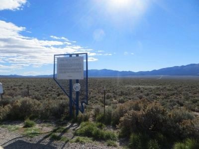
Location. 39° 5.334′ N, 114° 45.171′ W. Marker is near Ely, Nevada, in White Pine County. Marker is on U.S. 93, on the right when traveling south. Marker is about 12 miles south of Ely on US 6/50/93. Touch for map. Marker is in this post office area: Ely NV 89301, United States of America. Touch for directions.
Other nearby markers. At least 8 other markers are within 14 miles of this marker, measured as the crow flies. Taylor (a few steps from this marker); The Ward Cemetery (approx. 5.2 miles away); Ward Charcoal Ovens (approx. 6.1 miles away); Making Charcoal (approx. 6.2 miles away); a different marker also named Ward Charcoal Ovens (approx. 6.2 miles away); Nevada Northern Railway (approx. 13.2 miles away); Ely - Forging the Link (approx. 13.3 miles away); U.S. Post Office Ely, Nevada - 1937 (approx. 13.3 miles away). Touch for a list and map of all markers in Ely.
More about this marker. This marker shares the same location as Taylor marker. One on each side of the pullout.
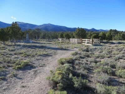
Also see . . . Ward, Nevada. A ghost town area which is now closed to the public. The old cemetery is still accessible. (Submitted on February 10, 2010.)
Credits. This page was last revised on October 28, 2020. It was originally submitted on February 8, 2010, by Bill Kirchner of Tucson, Arizona. This page has been viewed 1,509 times since then and 64 times this year. Photos: 1, 2. submitted on February 8, 2010, by Bill Kirchner of Tucson, Arizona. 3, 4, 5. submitted on October 19, 2013, by Bill Kirchner of Tucson, Arizona. • Syd Whittle was the editor who published this page.
