Clover in York County, South Carolina — The American South (South Atlantic)
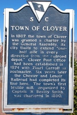
Town of Clover
Erected 1981 by York County Historical Commission. (Marker Number 46-18.)
Topics and series. This historical marker is listed in these topic lists: Notable Places • Railroads & Streetcars. In addition, it is included in the South Carolina, York County Historical Commission series list. A significant historical year for this entry is 1887.
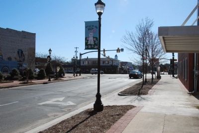
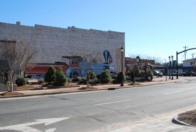
Location. 35° 6.678′ N, 81° 13.596′ W. Marker is in Clover, South Carolina, in York County. Marker is at the intersection of Kings Mountain Street and North Main Street, on the left when traveling east on Kings Mountain Street. Touch for map. Marker is in this post office area: Clover SC 29710, United States of America. Touch for directions.
Other nearby markers. At least 8 other markers are within 6 miles of this marker, measured as the crow flies. World War II Memorial (about 600 feet away, measured in a direct line); Clover Springs Farm (approx. 0.8 miles away); York County David Jackson Homeplace (approx. 1˝ miles away); North Carolina / South Carolina (approx. 3.6 miles away in North Carolina); William J. Wilson House (approx. 3.7 miles away in North Carolina); Bethel Presbyterian Church (approx. 4.2 miles away); York County Veterans Memorial (approx. 5 miles away); King's Mountain Battleground (approx. 5.3 miles away). Touch for a list and map of all markers in Clover.
Credits. This page was last revised on June 16, 2016. It was originally submitted on March 6, 2010, by Michael Sean Nix of Spartanburg, South Carolina. This page has been viewed 1,092 times since then and 35 times this year. Photos: 1, 2, 3, 4. submitted on March 6, 2010, by Michael Sean Nix of Spartanburg, South Carolina. • Bill Pfingsten was the editor who published this page.


