Marker Logo HMdb.org THE HISTORICAL
MARKER DATABASE
“Bite-Size Bits of Local, National, and Global History”
Annapolis in Anne Arundel County, Maryland — The American Northeast (Mid-Atlantic)
 

Maryland State House

Built 1772-1779

— Capitol of the United States November 26, 1783 - August 13, 1784 —


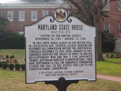
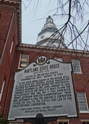
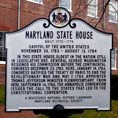
Maryland State House Marker image. Click for full size.
Photographed By Allen C. Browne, February 8, 2013
1. Maryland State House Marker
Inscription. In this state house, oldest in the nation still in legislative use, General George Washington resigned his commission before the Continental Congress December 23, 1783. Here, January 14, 1784, Congress ratified the Treaty of Paris to end the Revolutionary war and May 7, 1784 appointed Thomas Jefferson plenipotentiary. From here, September 14, 1786, the Annapolis convention issued the call to the states that led to the Constitutional Convention.
 
Erected by Maryland Historical Society.
 
Topics and series. This historical marker is listed in these topic lists: Government & PoliticsPeace. In addition, it is included in the Former U.S. Presidents: #03 Thomas Jefferson, and the National Historic Landmarks series lists. A significant historical month for this entry is January 1764.
 
Location. 38° 58.711′ N, 76° 29.47′ W. Marker is in Annapolis, Maryland, in Anne Arundel County. Marker is on State Circle near School Street. This marker is on the grounds of the Maryland State House. Touch for map. Marker is at or near this postal address: 9 State Circle, Annapolis MD 21401, United States of America. Touch for directions.
 
Other nearby markers. At least 8 other markers are within walking distance of this marker. Sacred to the Memory of Baron de Kalb (here, next to this marker); Baron Johann de Kalb, 1721 - 1780 (here, next to this marker); a different marker also named Maryland State House
Paid Advertisement
Click on the ad for more information.
Please report objectionable advertising to the Editor.
Click or scan to see
this page online
(within shouting distance of this marker); Matthew Alexander Henson (within shouting distance of this marker); Dred Scott, 1799 - 1858 (within shouting distance of this marker); General Washington (within shouting distance of this marker); Roger Brooke Taney, 1777 - 1864 (within shouting distance of this marker); The Government House (within shouting distance of this marker). Touch for a list and map of all markers in Annapolis.
 
More about this marker. There are three copies of this marker on the grounds.
 
Additional commentary.
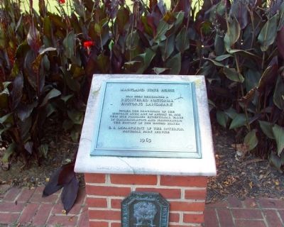
1. Text of the Maryland State House plaque
Maryland State House has been designated a Registered National Historic Landmark under the provisions of the Historic Sites Act of August 21, 1933. This site possesses exceptional value in commemorating and illustrating the history of the United States. Plaque by the United States Department of the Interior, National Park Service. 1963.
    — Submitted October 9, 2007, by Tom Fuchs of Greenbelt, Maryland.
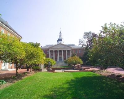
Maryland State House Marker image. Click for full size.
Photographed By Tom Fuchs, October 8, 2007
2. Maryland State House Marker
 
Court House Square image. Click for full size.
Photographed By Tom Fuchs, October 8, 2007
3. Court House Square
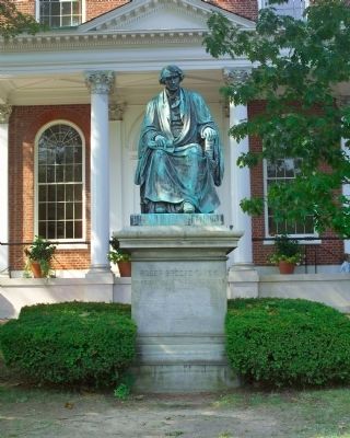
Nearby Roger Brooke Taney Statue image. Click for full size.
Photographed By Tom Fuchs, October 8, 2007
4. Nearby Roger Brooke Taney Statue
Inscription: “Roger Brooke Taney, Chief Justice of the United States of America. Born March 17, 1777. Commissioned March 15, 1836. Died October 12, 1864.” Bronze by William Henry Rinehart (1825–1874) dedicated 1872.
National Historic Landmark plaque image. Click for full size.
Photographed By Tom Fuchs, October 8, 2007
5. National Historic Landmark plaque
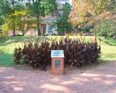
Maryland State House and National Historic Landmark plaque image. Click for full size.
Photographed By Tom Fuchs, October 8, 2007
6. Maryland State House and National Historic Landmark plaque
State House Dome image. Click for full size.
Photographed By Tom Fuchs, October 8, 2007
7. State House Dome
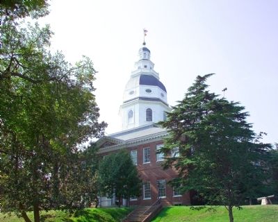
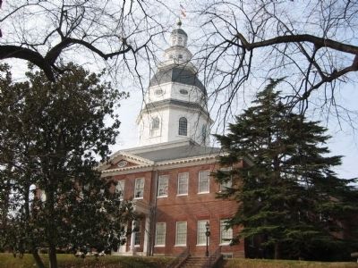
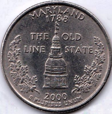
This dome served as the model for Reverse side of the Maryland Quarter (one of the 50 State Quarter series).
Maryland State House image. Click for full size.
Photographed By F. Robby, December 30, 2002
8. Maryland State House
Maryland State House Marker image. Click for full size.
Photographed By F. Robby, December 30, 2002
9. Maryland State House Marker
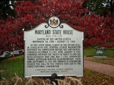
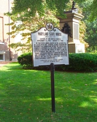
One of the other three identical Maryland State House markers on the State House grounds.
Maryland State House Marker image. Click for full size.
Photographed By Mike Stroud, October 13, 2005
10. Maryland State House Marker
The State House Dome image. Click for full size.
Photographed By Allen C. Browne
11. The State House Dome
On the Maryland State Quarter, 2000
Maryland State House Marker image. Click for full size.
Photographed By Allen C. Browne, February 8, 2013
12. Maryland State House Marker
 
 
Credits. This page was last revised on August 17, 2019. It was originally submitted on October 9, 2007, by Tom Fuchs of Greenbelt, Maryland. This page has been viewed 2,859 times since then and 67 times this year. Photos:   1. submitted on February 20, 2013, by Allen C. Browne of Silver Spring, Maryland.   2, 3, 4, 5, 6, 7. submitted on October 9, 2007, by Tom Fuchs of Greenbelt, Maryland.   8, 9. submitted on October 10, 2007, by F. Robby of Baltimore, Maryland.   10. submitted on February 25, 2013, by Mike Stroud of Bluffton, South Carolina.   11, 12. submitted on February 20, 2013, by Allen C. Browne of Silver Spring, Maryland. • J. J. Prats was the editor who published this page.
Share this page.  
Share on Tumblr
m=2864

CeraNet Cloud Computing sponsors the Historical Marker Database.
This website earns income from purchases you make after using our links to Amazon.com. We appreciate your support.
Paid Advertisement
Apr. 26, 2024