Downtown San Jose in Santa Clara County, California — The American West (Pacific Coastal)
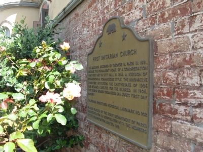
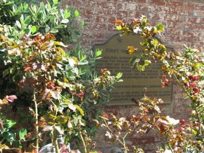
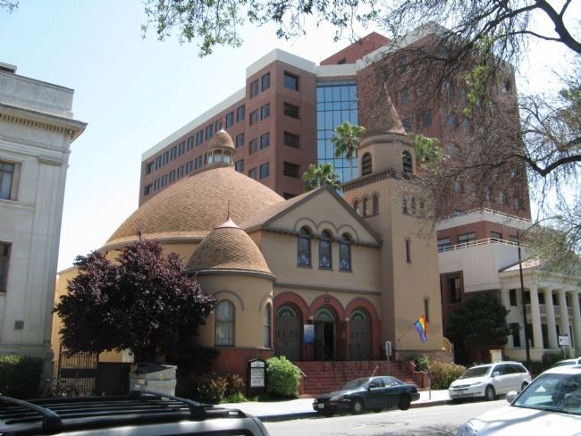
First Unitarian Church
Erected 1979 by State Department of Parks and Recreation and the Members of the Congregation. (Marker Number 902.)
Topics and series. This historical marker is listed in these topic lists: Churches & Religion • Landmarks • Notable Buildings. In addition, it is included in the California Historical Landmarks, and the Unitarian Universalism (UUism) series lists. A significant historical year for this entry is 1891.
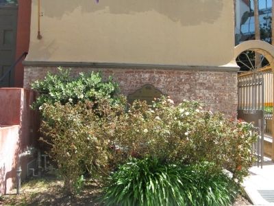
Location. 37° 20.373′ N, 121° 53.412′ W. Marker is in San Jose, California, in Santa Clara County. It is in Downtown San Jose. Marker is on North 3rd Street south of East St. James Street, on the right when traveling north. Marker is mounted on the building to the right of the entrance steps. Marker may be obscured by bushes and easily missed. The building is located across from St. James Park. Touch for map. Marker is at or near this postal address: 160 North 3rd Street, San Jose CA 95112, United States of America. Touch for directions.
Other nearby markers. At least 8 other markers are within walking distance of this marker. Eagles Hall (within shouting distance of this marker); Scottish Rite Temple (within shouting distance of this marker); Sainte Claire Club (about 400 feet away, measured in a direct line); St. James Park (about 400 feet away); Henry Morris Naglee (about 400 feet away); Trinity Episcopal Church (about 600 feet away); First Church of Christ, Scientist (about 600 feet away); Labor Temple (about 600 feet away). Touch for a list and map of all markers in San Jose.
Regarding First Unitarian Church. This site was designated as a California Registered Historical Landmark on September 1, 1976.
Statement of Significance:
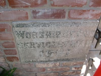
This church's architectural character is generally described as Richardsonian Romanesque, it is one of the few churches in America patterned after the traditional Unitarian churches of Transylvania. Designed by architect G. W. Page and erected in 1891-92, the building has served its congregation continuously since construction.
Also see . . . History of the First Unitarian Church of San Jose. Unitarian Services in San José were first held in City Hall in November of 1865, with 100 people in attendance. Mr. And Mrs. B.F. Watkins, residents of Santa Clara who belonged to the San Francisco Unitarian Church, were staunch supporters of the women's suffrage movement and organizers on behalf of the U.S. Sanitary Commission, which aided victims of the Civil War (and later became the Red Cross). (Submitted on April 26, 2010.)
Credits. This page was last revised on February 7, 2023. It was originally submitted on April 26, 2010, by Syd Whittle of Mesa, Arizona. This page has been viewed 928 times since then and 21 times this year. Photos: 1, 2, 3, 4, 5. submitted on April 26, 2010, by Syd Whittle of Mesa, Arizona.
