Near Snow Hill in Greene County, North Carolina — The American South (South Atlantic)
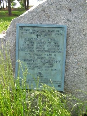
Hull Road
the original Hull Road
cut by
General Hull
in the march of the
British Army through
Eastern North Carolina
during the Revolutionary War
Two miles east is
the grave of
Thomas Holliday
General in the
American Army
in the War of 1812
Erected 1980 by Colonel Alexander McAllister Chapter, Daughters of the American Revolution.
Topics and series. This historical marker is listed in these topic lists: War of 1812 • War, US Revolutionary. In addition, it is included in the Daughters of the American Revolution series list. A significant historical year for this entry is 1812.
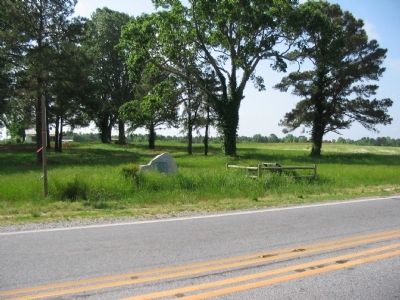
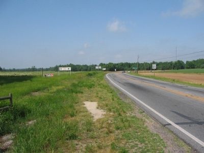
Location. 35° 28.884′ N, 77° 38.326′ W. Marker is near Snow Hill, North Carolina, in Greene County. Marker is at the intersection of U.S. 13 (U.S. 258) and County Route 903, on the right when traveling north on U.S. 13. Touch for map. Marker is at or near this postal address: 2856 US-13, Snow Hill NC 28580, United States of America. Touch for directions.
Other nearby markers. At least 8 other markers are within 9 miles of this marker, measured as the crow flies. Grimsley Baptist Church (here, next to this marker); Snow Hill (approx. 2˝ miles away); Tuscarora War (approx. 2˝ miles away); Nooherooka (approx. 5 miles away); James Glasgow (approx. 5.8 miles away); Farm Bell (approx. 8.4 miles away); Chasing Gen. Potter (approx. 8.4 miles away); Gen. Allen Hal Turnage (approx. 8˝ miles away). Touch for a list and map of all markers in Snow Hill.
Credits. This page was last revised on May 11, 2023. It was originally submitted on May 25, 2010, by Craig Swain of Leesburg, Virginia. This page has been viewed 1,006 times since then and 62 times this year. Last updated on May 7, 2023, by Michael Buckner of Durham, North Carolina. Photos: 1, 2, 3. submitted on May 25, 2010, by Craig Swain of Leesburg, Virginia. • J. Makali Bruton was the editor who published this page.


