Charleston in Montgomery County, New York — The American Northeast (Mid-Atlantic)
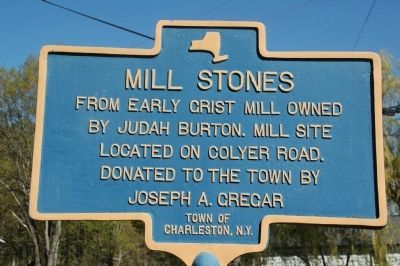
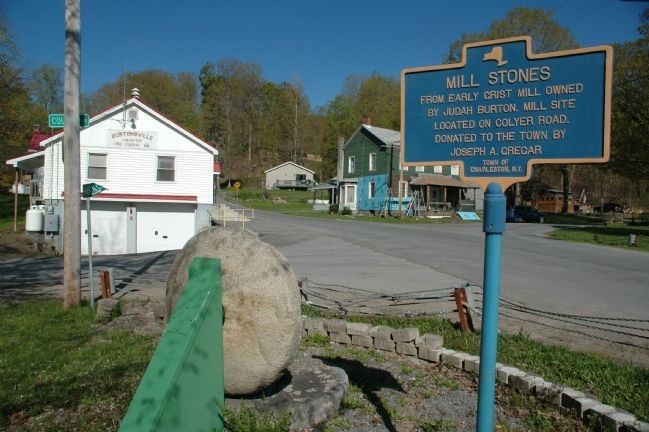
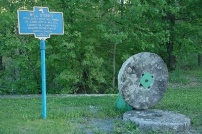
Mill Stones
Erected by Town of Charleston, N.Y.
Topics. This historical marker is listed in this topic list: Industry & Commerce.
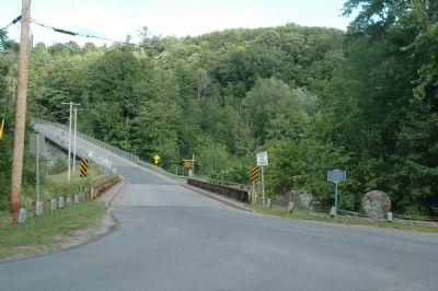
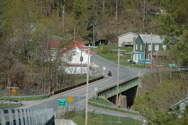
Location. 42° 48.3′ N, 74° 15.533′ W. Marker is in Charleston, New York, in Montgomery County. Marker is at the intersection of County Route 160 and Colyer Road, on the right when traveling east on County Route 160. The Mill Stones marker is in the hamlet of Burtonsville, across Colyer Road from the Burtonsville Fire Department. Touch for map. Marker is in this post office area: Esperance NY 12066, United States of America. Touch for directions.
Other nearby markers. At least 8 other markers are within 3 miles of this marker, measured as the crow flies. Grist Mill (within shouting distance of this marker); Burtonville (within shouting distance of this marker); Amos Clayton (within shouting distance of this marker); Burton House (about 600 feet away, measured in a direct line); Eatons Corners Post Office & Store (approx. 0.6 miles away); Tory Tree Site (approx. ¾ mile away); County Line Meeting House (approx. one mile away); Baptist Church (approx. 2.2 miles away). Touch for a list and map of all markers in Charleston.
Related marker. Click here for another marker that is related to this marker.
Additional keywords. Schoharie Creek, Burtonsville, Butonville
Photographed By Howard C. Ohlhous, June 13, 2010
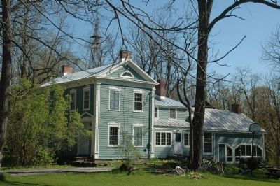
6. 1834 Judah Burton Jr. Home
In 1785 Judah Burton Sr. erected the first saw mill and grist mill in this community located in the southeast corner of the Town of Charleston in Montgomery County. In 1790 he had the first bridge across the Schoharie Creek erected. A toll bridge, it brought many people to the mills along the creek fueled by the natural falls.
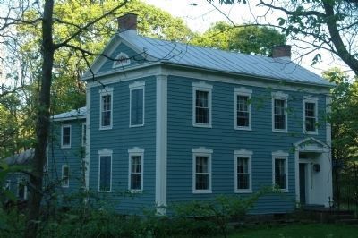
His home still remains today near the site of the mills along the creek. Mudges Hollow became Eaton Corners, then in 1837 the name was changed to Burtonville (without the 's') in honor of Judah Burton Sr. In 1850 Judah Burton, Jr. built a sawmill, one of the many that flooding periodically took out along with bridges and other factories that had developed there. After a flood in 1870 which washed away the lumber, grist, and carding mills, and other factories, Burtonsville (the s having worked its way in) declined.
In 1834 Judah Burton Jr. built the home pictured here.
Credits. This page was last revised on November 27, 2019. It was originally submitted on June 13, 2010, by Howard C. Ohlhous of Duanesburg, New York. This page has been viewed 1,093 times since then and 46 times this year. Photos: 1, 2, 3, 4, 5, 6, 7. submitted on June 13, 2010, by Howard C. Ohlhous of Duanesburg, New York. • Bill Pfingsten was the editor who published this page.
