Sullivans Island in Charleston County, South Carolina — The American South (South Atlantic)
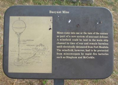
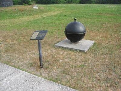
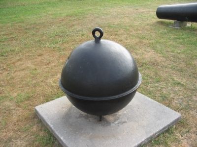
Buoyant Mine
Topics. This historical marker is listed in this topic list: Military.
Location. 32° 45.529′ N, 79° 51.385′ W. Marker is on Sullivans Island, South Carolina, in Charleston County. Marker is on Poe Avenue, on the right when traveling east. Located in the cannon walk, stop eight, on the tour of Fort Moultrie. Touch for map. Marker is in this post office area: Sullivans Island SC 29482, United States of America. Touch for directions.
Other nearby markers. At least 8 other markers are within walking distance of this marker. 10-Inch Parrott (300 pounder) (here, next to this marker); Battery Jasper (a few steps from this marker); 8-inch Parrott (200 Pounder) (a few steps from this marker); Coastal Defense: The Endicott System (a few steps from this marker); 7-Inch Brooke Rifle, Triple Banded (a few steps from this marker); 10-Inch Columbiad, Rifled and Banded (within shouting distance of this marker); 10-Inch Columbiad (Rodman) (within shouting distance of this marker); This is Sullivan's Island (within shouting distance of this marker). Touch for a list and map of all markers in Sullivans Island.
Credits. This page was last revised on June 16, 2016. It was originally submitted on June 19, 2010, by Craig Swain of Leesburg, Virginia. This page has been viewed 750 times since then and 26 times this year. Photos: 1, 2, 3. submitted on June 19, 2010, by Craig Swain of Leesburg, Virginia.


