Lebec in Kern County, California — The American West (Pacific Coastal)
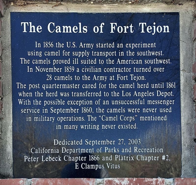
The Camels of Fort Tejon
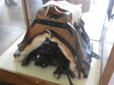
In 1856 the U.S. Army started an experiment using camel for supply transport in the southwest. The camels proved ill suited to the American southwest.
In November 1859 a civilian contractor turned over 28 camels to the Army at Fort Tejon.
The post quartermaster cared for the camel herd until 1861 when the herd was transferred to the Los Angeles Depot. With the possible exception of an unsuccessful messenger service in September 1860, the camels were never used in military operations. The "Camel Corps" mentioned in many writings never existed.
Erected 2003 by Calif. Dept. of Parks and Recreation; and Peter Lebeck Chapter 1866 and Platrix Chapter #2 E Clampus Vitus.
Topics and series. This historical marker is listed in these topic lists: Animals • Military. In addition, it is included in the E Clampus Vitus series list. A significant historical month for this entry is September 1860.
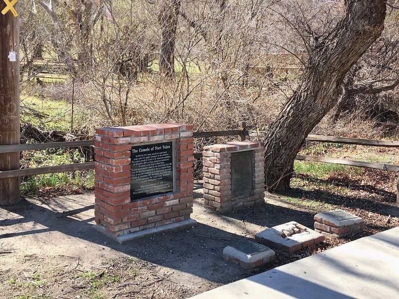
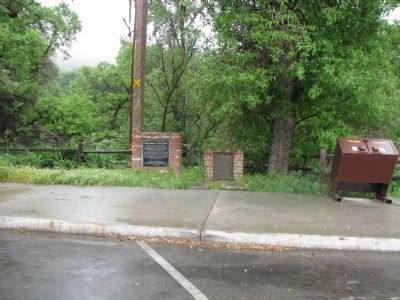
Location. 34° 52.466′ N, 118° 53.562′ W. Marker is in Lebec, California, in Kern County. Marker can be reached from Fort Tejon Road near Interstate 5, on the right when traveling south. Located at the south end of the parking lot of Fort Tejon State Historic Park. Touch for map. Marker is in this post office area: Lebec CA 93243, United States of America. Touch for directions.
Other nearby markers. At least 8 other markers are within 5 miles of this marker, measured as the crow flies. Camel Trail Terminus (here, next to this marker); Peter Lebeck (here, next to this marker); Camel Brigade (here, next to this marker); Fort Tejon (within shouting distance of this marker); Peter Lebec (about 500 feet away, measured in a direct line); Don Pedro Fages (approx. 3.2 miles away); Interstate Highway 5 (approx. 3.6 miles away); El Camino Viejo (approx. 4.8 miles away). Touch for a list and map of all markers in Lebec.
Regarding The Camels of Fort Tejon. E Clampus Vitus took this opportunity to set the historical record straight.
Related markers. Click here for a list of markers that are related to this marker. — Beale's camel experiment historical markers.
Credits. This page was last revised on October 18, 2023. It was originally submitted on June 23, 2010, by Chris English of Phoenix, Arizona. This page has been viewed 2,172 times since then and 103 times this year. Last updated on July 9, 2010, by Chris English of Phoenix, Arizona. Photos: 1, 2. submitted on February 17, 2022, by Craig Baker of Sylmar, California. 3, 4. submitted on May 22, 2015, by Denise Boose of Tehachapi, California. • Syd Whittle was the editor who published this page.


