Camp Whitside in Fort Riley in Geary County, Kansas — The American Midwest (Upper Plains)
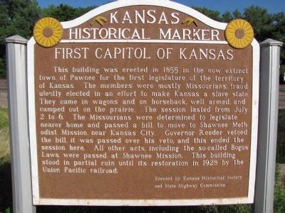
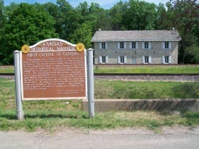
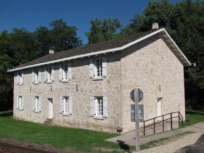
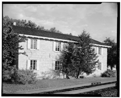
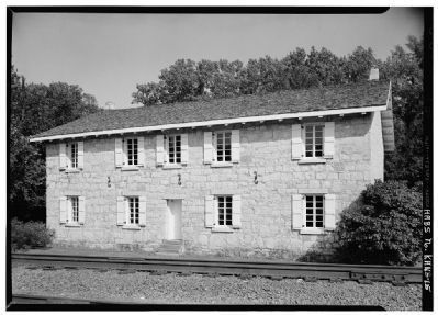
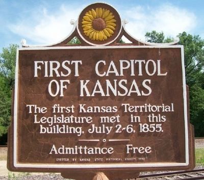
First Capitol of Kansas
Erected by Kansas Historical Society and State Highway Commission. (Marker Number 24.)
Topics and series. This historical marker is listed in these topic lists: Government & Politics • Notable Buildings. In addition, it is included in the Kansas Historical Society series list. A significant historical month for this entry is July 1961.
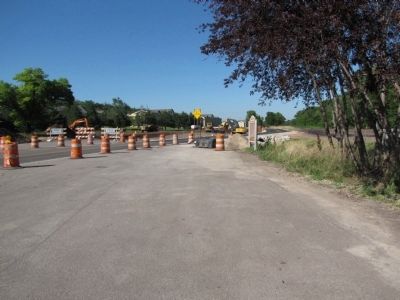
Location. 39° 5.121′ N, 96° 45.759′ W. Marker is in Fort Riley, Kansas, in Geary County. It is in Camp Whitside. Marker is on Huebner Road east of 10th Street, on the right when traveling east. Touch for map. Marker is in this post office area: Fort Riley KS 66442, United States of America. Touch for directions.
Other nearby markers. At least 8 other markers are within 2 miles of this marker, measured as the crow flies. A different marker also named First Capitol of Kansas (within shouting distance of this marker); Locomotive "6072" (approx. ¾ mile away); Fort Riley (approx. 1.2 miles away); Tuttle Park (approx. 1.6 miles away); Sturgis Stadium (approx. 1.6 miles away); To the Memory of the Gallant Dead 26th Cavalry (approx. 1.8 miles away); Global War on Terrorism Monument (approx. 1.8 miles away); In Memory of Civil War Horses and Mules (approx. 1.8 miles away). Touch for a list and map of all markers in Fort Riley.
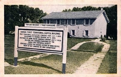
Postcard by the Clay Center Engraving Co., circa 1932
8. Kansas First Territorial Capitol Building
First territorial legislature convened here July 2, 1855
Adjourned to Shawnee Mission July 6, 1855
Restored by Union Pacific Railroad Company July 2, 1928
Buildings and grounds maintained by the
Kansas State Historical Society
Revocable license for ground outside of Union Pacific
right of way granted by the War Department
Adjourned to Shawnee Mission July 6, 1855
Restored by Union Pacific Railroad Company July 2, 1928
Buildings and grounds maintained by the
Kansas State Historical Society
Revocable license for ground outside of Union Pacific
right of way granted by the War Department
Credits. This page was last revised on February 10, 2023. It was originally submitted on July 7, 2010, by Lee Hattabaugh of Capshaw, Alabama. This page has been viewed 813 times since then and 11 times this year. Last updated on July 14, 2010, by William J. Toman of Green Lake, Wisconsin. Photos: 1, 2. submitted on July 7, 2010, by Lee Hattabaugh of Capshaw, Alabama. 3. submitted on February 10, 2015, by William Fischer, Jr. of Scranton, Pennsylvania. 4. submitted on July 7, 2010, by Lee Hattabaugh of Capshaw, Alabama. 5, 6. submitted on July 13, 2010. 7. submitted on February 10, 2015, by William Fischer, Jr. of Scranton, Pennsylvania. 8. submitted on February 14, 2015. • Syd Whittle was the editor who published this page.
