Near Tiffin in Johnson County, Iowa — The American Midwest (Upper Plains)
Historic Amana Colonies
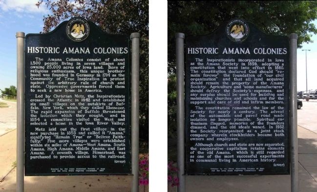
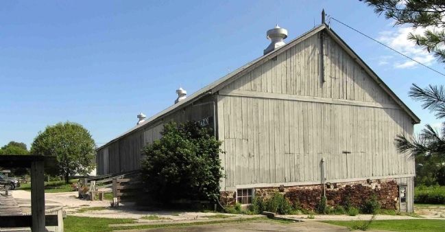
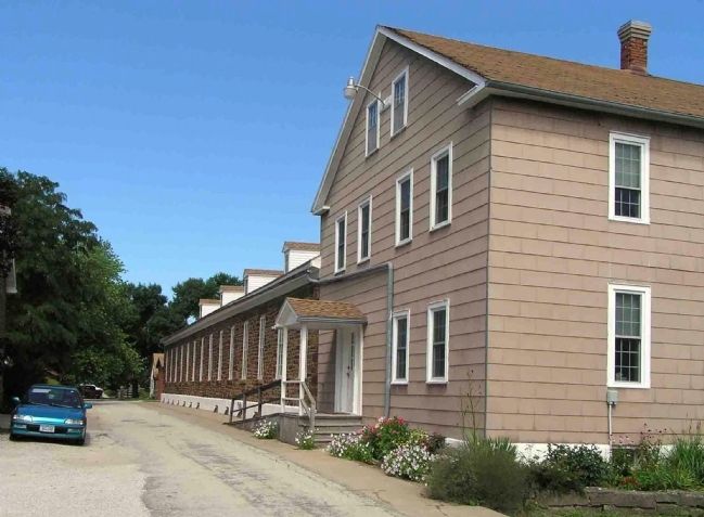
The Amana Colonies consist of about 1,500 people living in seven villages and owning 25,000 acres of Iowa land. Born of religious enthusiasm, this unique brotherhood was founded in Germany in 1714 as the Community of True Inspiration in protest against the arbitrary rule of church and state. Oppressive governments forced them to seek a new home in America.
Led by Christian Metz, the Inspirationists crossed the Atlantic in 1842 and established six small villages on the outskirts of Buffalo, New York, which they called Ebenezer. The rapid expansion of Buffalo threatened the isolation they sought, and in 1854 a committee visited the West and selected a home in the Iowa River Valley.
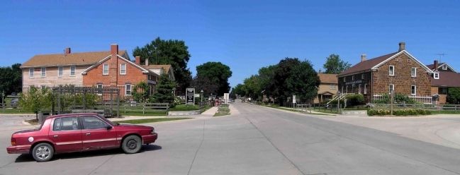
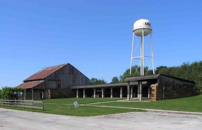
Metz laid out the first village in the new purchase in 1855 and called it “Amana,” signifying “Remain True” or “Believe Faithfully.” Five more villages were established within six miles of Amana –– West Amana, South Amana, High Amana, Middle Amana, and East Amana. A seventh village, Homestead, was purchased to provide access to the railroad.
(over)
Reverse
The Inspirationists incorporated in Iowa as the Amana Society in 1859, adopting a constitution that went into effect in 1860. The constitution declared God should “remain forever” the foundation of “our civil organization” and that all acquired should remain the property of the Amana Society. Agriculture and “some manufactures” should defray the Society’s expenses, and any surplus should be used for building and maintaining churches and schools and for the support and care of old and infirm members.
The constitution remained the law of the Society for nearly a century. The advent of the automobile and paved road made isolation no longer possible. Spiritual enthusiasm flagged, memories of the founders dimmed and the old ideal waned. In 1932 the Society reorganized as a joint stock company wherein the stockholders became both owners and employees.
Although church and state are now separated, the cooperative capitalism retains elements of the old Amana, which is still regarded as one of the most successful experiments in communal living in American history.
(over)
Erected 1967 by State Historical Society of Iowa and the Iowa State Highway Commission. (Marker Number 6.)
Topics and series. This historical marker is listed in these topic lists: Churches & Religion • Settlements & Settlers. In addition, it is included in the Iowa - State Historical Society of Iowa series list.
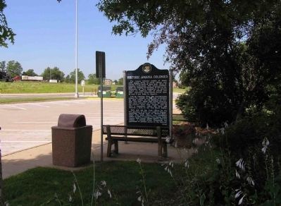
Location. 41° 41.707′ N, 91° 40.866′ W. Marker is near Tiffin, Iowa, in Johnson County. Marker can be reached from Interstate 80 at milepost 237,, ¾ mile west of Ireland Road SW, on the right when traveling west. The marker is located at Rest Area 10 Westbound, .2 miles west of Exit 237 on Interstate 80. Touch for map. Marker is in this post office area: Tiffin IA 52340, United States of America. Touch for directions.
Other nearby markers. At least 8 other markers are within 8 miles of this marker, measured as the crow flies. Historic Iowa City / Mormon Handcart Trail - 1856 (about 600 feet away, measured in a direct line); Hoover Historic Site / Hoover’s West Branch (approx. 0.2 miles away); Mormon Handcart Brigade Camp (approx. 5.1 miles away); Samuel Jordan Kirkwood (approx. 5.9 miles away); The First State University to Admit Women on an Equal Basis with Men (approx. 7.8 miles away); Old Dental Building (approx. 7.8 miles away); The Old Stone Capitol (approx. 7.8 miles away); In Memoriam (approx. 7.8 miles away). Touch for a list and map of all markers in Tiffin.
Also see . . . Amana Colonies. The Amana Colonies have been a landmark on the Iowa prairie for over 150 years - reminding us of a simpler time. (Submitted on July 21, 2010, by PaulwC3 of Northern, Virginia.)
Credits. This page was last revised on May 26, 2023. It was originally submitted on July 21, 2010, by PaulwC3 of Northern, Virginia. This page has been viewed 2,008 times since then and 25 times this year. Last updated on May 26, 2023, by Jeff Leichsenring of Garland, Texas. Photos: 1, 2, 3, 4, 5, 6. submitted on July 21, 2010, by PaulwC3 of Northern, Virginia. • J. Makali Bruton was the editor who published this page.
