Dailey in Randolph County, West Virginia — The American South (Appalachia)
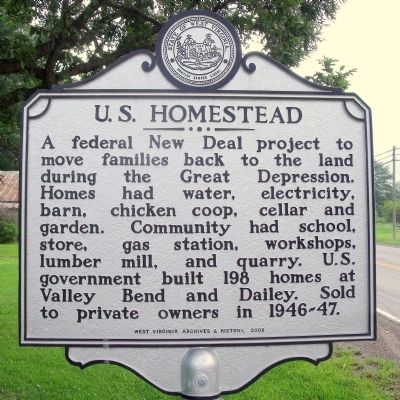
U.S. Homestead
Erected 2008 by West Virginia Archives & History.
Topics and series. This historical marker is listed in this topic list: Charity & Public Work. In addition, it is included in the West Virginia Archives and History series list.
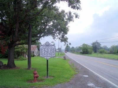
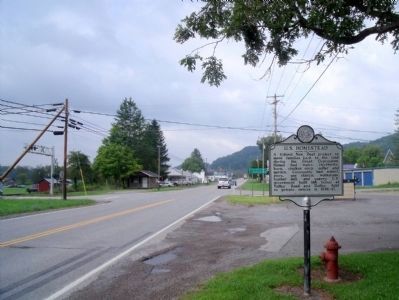
Location. 38° 47.944′ N, 79° 53.765′ W. Marker is in Dailey, West Virginia, in Randolph County. Marker is at the intersection of Seneca Trail (U.S. 219) and Georgetown Road (County Route 21), on the left when traveling north on Seneca Trail. Touch for map. Marker is in this post office area: Dailey WV 26259, United States of America. Touch for directions.
Other nearby markers. At least 8 other markers are within 3 miles of this marker, measured as the crow flies. Tygart Valley Homesteads (approx. 0.8 miles away); West Virginia Historic New Deal / CCC Trail (approx. 0.8 miles away); Humboldt Yokum House (approx. 2.9 miles away); Edward Hart House (approx. 3 miles away); Isaac Baker House (approx. 3 miles away); Birkett-Cresap (approx. 3 miles away); Historic Beverly Antique Mall (approx. 3.1 miles away); Randolph County Jail (approx. 3.1 miles away).
Credits. This page was last revised on June 16, 2016. It was originally submitted on August 14, 2010, by Bernard Fisher of Richmond, Virginia. This page has been viewed 642 times since then and 35 times this year. Photos: 1, 2, 3. submitted on August 14, 2010, by Bernard Fisher of Richmond, Virginia.


