Van Buren in Carter County, Missouri — The American Midwest (Upper Plains)
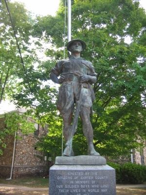
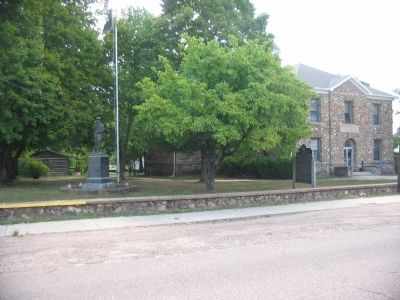
Carter County Veterans Memorial
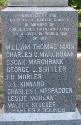
citizens of Carter County
in memory of
our soldier boys who lost
their lives in World War
of 1917
Charles O. Marchbank
Oscar Marchbank
George L. Shiffler
Ed. Morler
J.L. Kinnard
Charles E. McSpadden
Leslie Morlan
Walter Stucker
Charles A. Bounds
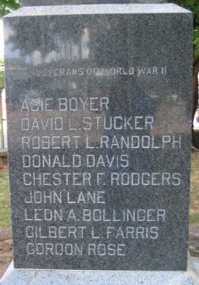
(Left Side):
David L. Strucker
Robert L. Randolph
Donald Davis
Chester F. Rodgers
John Lane
Leon A. Bollinger
Gilbert L. Farris
Gordon Rose
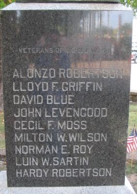
(Right Side):
Lloyd F. Griffin
David Blue
John Levengood
Cecil F. Moss
Milton W. Wilson
Norman E. Roy
Luin W. Sartin
Hardy Robertson
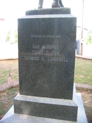
(Back):
Topel C. Fox
Thomas H. Campbell
Topics. This memorial is listed in these topic lists: War, Korean • War, World I • War, World II.
Location. 36° 59.72′ N, 91° 0.872′ W. Marker is in Van Buren, Missouri, in Carter County. Memorial is at the intersection of Main Street (Business U.S. 60) and Oliver Street, on the right when traveling north on Main Street. Located on the northwest corner of the county courthouse grounds. Touch for map. Marker is in this post office area: Van Buren MO 63965, United States of America. Touch for directions.
Other nearby markers. At least 8 other markers are within 13 miles of this marker, measured as the crow flies. Van Buren (a few steps from this marker); Big Spring (approx. 3.2 miles away); Big Spring: A Karst Topography (approx. 3.2 miles away); There Was Work To Be Done (approx. 3˝ miles away); Camp Hains - 1710 (approx. 3˝ miles away); CCC - A Peace-Time Army (approx. 3˝ miles away); Building Human Happiness (approx. 3˝ miles away); The Ancient Ozarks (approx. 12.8 miles away). Touch for a list and map of all markers in Van Buren.
Credits. This page was last revised on June 16, 2016. It was originally submitted on September 25, 2010, by Craig Swain of Leesburg, Virginia. This page has been viewed 1,093 times since then and 29 times this year. Photos: 1, 2, 3, 4, 5, 6. submitted on September 25, 2010, by Craig Swain of Leesburg, Virginia.
